Botolan night lights from space
Night Light of Botolan (Central Luzon) from space (Philippines) Src. Average luminocity for 10x10km area is 2.2045% and for 50x50km: 0.1987%.
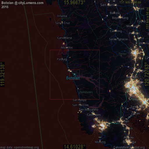
Analysis of Botolan night lights 2016
Square area 10x10 km:
 0%
0%90-99
0%80-89
0%70-79
0%60-69
1.65%50-59
0%40-49
1.65%30-39
0%20-29
0%10-19
1.45%0-9
95.25%Square area 50x50 km:
0%90-99
0%80-89
0%70-79
0.03%60-69
0.07%50-59
0.02%40-49
0.14%30-39
0.03%20-29
0.07%10-19
0.06%0-9
99.58%Clear (daylight) street map image can be seen on geolist.org.
Map coordinates:
15° 58' 0.2" North, 119° 19' 17" East
15° 17' 22.6" North, 120° 1' 28.2" East
14° 36' 37" North, 120° 43' 39.5" East
Some cities around Botolan sort by population:
• Masinloc
28.6 km =17.8 mi,  343°
343°
• Iba
6.5 km =4 mi,  310°
310°
• San Marcelino
37.9 km =23.5 mi,  157°
157°
• San Narciso
31.2 km =19.4 mi,  168°
168°
• Poblacion, San Felipe
25.7 km =16 mi, 169°
• Amuñgan
11 km =6.8 mi,  319°
319°
• Taltal
34.2 km =21.3 mi,  345°
345°
• San Juan
4.3 km =2.7 mi,  89°
89°
1723822 (p: 22,994)
Sources (retrieved 2019-11-25):
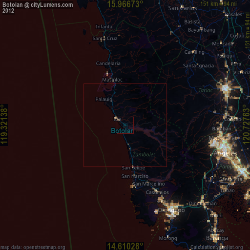
» Earth at Night: Flat Maps 2012, 2016