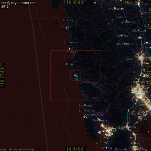
Iba night lights from space
Night Light of Iba (Central Luzon) from space (Philippines) Src. Average luminocity for 10x10km area is 3.9242% and for 50x50km: 0.2326%.
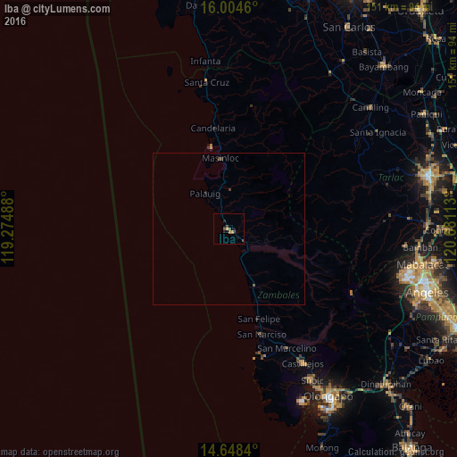
Analysis of Iba night lights 2016
Square area 10x10 km:
 0%
0%90-99
0%80-89
0%70-79
0.87%60-69
1.73%50-59
0%40-49
2.16%30-39
0.87%20-29
0.87%10-19
1.52%0-9
91.99%Square area 50x50 km:
0%90-99
0%80-89
0%70-79
0.03%60-69
0.07%50-59
0.03%40-49
0.18%30-39
0.07%20-29
0.07%10-19
0.06%0-9
99.51%Clear (daylight) street map image can be seen on geolist.org.
Map coordinates:
16° 0' 16.6" North, 119° 16' 29.6" East
15° 19' 39.4" North, 119° 58' 40.8" East
14° 38' 54.2" North, 120° 40' 52.1" East
Some cities around Iba sort by population:
• Masinloc
23.4 km =14.5 mi,  352°
352°
• Botolan
6.5 km =4 mi,  130°
130°
• San Narciso
36.5 km =22.7 mi,  162°
162°
• Poblacion, San Felipe
31.1 km =19.3 mi, 161°
• Amuñgan
4.7 km =2.9 mi,  333°
333°
• Lucapon
41.7 km =25.9 mi, 353°
• Taltal
29.1 km =18.1 mi, 353°
• San Juan
10.2 km =6.3 mi,  114°
114°
1711437 (p: 26,935)
Sources (retrieved 2019-11-25):
» Earth at Night: Flat Maps 2012, 2016