San Juan night lights from space
Night Light of San Juan (Central Luzon) from space (Philippines) Src. Average luminocity for 10x10km area is 0.3905% and for 50x50km: 0.1987%.
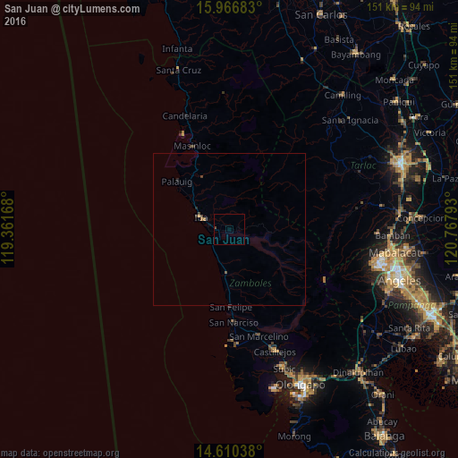
Analysis of San Juan night lights 2016
Square area 10x10 km:
 0%
0%90-99
0%80-89
0%70-79
0%60-69
0%50-59
0%40-49
0.83%30-39
0%20-29
0%10-19
0%0-9
99.17%Square area 50x50 km:
0%90-99
0%80-89
0%70-79
0.03%60-69
0.07%50-59
0.02%40-49
0.14%30-39
0.03%20-29
0.07%10-19
0.06%0-9
99.58%Clear (daylight) street map image can be seen on geolist.org.
Map coordinates:
15° 58' 0.6" North, 119° 21' 42" East
15° 17' 22.9" North, 120° 3' 53.3" East
14° 36' 37.4" North, 120° 46' 4.5" East
Some cities around San Juan sort by population:
• Masinloc
30 km =18.6 mi,  335°
335°
• Iba
10.2 km =6.3 mi,  294°
294°
• Botolan
4.3 km =2.7 mi,  269°
269°
• San Marcelino
36.5 km =22.7 mi,  164°
164°
• San Narciso
30.7 km =19.1 mi,  176°
176°
• Poblacion, San Felipe
25.3 km =15.7 mi, 178°
• Amuñgan
14.2 km =8.8 mi,  306°
306°
• Taltal
35.5 km =22.1 mi, 338°
1689268 (p: 5,034)
Sources (retrieved 2019-11-25):
» Earth at Night: Flat Maps 2012, 2016