Mariveles night lights from space
Night Light of Mariveles (Central Luzon) from space (Philippines) Src. Average luminocity for 10x10km area is 16.1342% and for 50x50km: 3.316%.
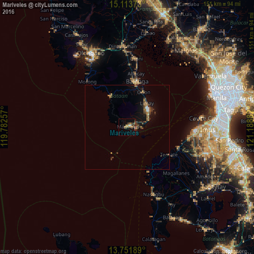
Analysis of Mariveles night lights 2016
Square area 10x10 km:
 0.43%
0.43%90-99
1.73%80-89
0.22%70-79
4.76%60-69
3.68%50-59
1.73%40-49
2.16%30-39
6.28%20-29
0.22%10-19
8.66%0-9
70.13%Square area 50x50 km:
0.22%90-99
0.15%80-89
0.09%70-79
0.59%60-69
0.64%50-59
0.57%40-49
0.8%30-39
0.78%20-29
0.51%10-19
2.83%0-9
92.82%Clear (daylight) street map image can be seen on geolist.org.
Map coordinates:
15° 6' 49.4" North, 119° 46' 57.3" East
14° 26' 1.9" North, 120° 29' 8.5" East
13° 45' 6.8" North, 121° 11' 19.8" East
Some cities around Mariveles sort by population:
• Balanga
27.5 km =17.1 mi,  11°
11°
• Naic
32.8 km =20.4 mi,  113°
113°
• Limay
18.7 km =11.6 mi,  40°
40°
• Orion
23.2 km =14.4 mi,  26°
26°
• Maragondon
32.5 km =20.2 mi,  123°
123°
• Ternate
29.6 km =18.4 mi, 122°
• Pilar
26.6 km =16.5 mi,  18°
18°
• Cabcaben
11.6 km =7.2 mi,  78°
78°
1700868 (p: 84,567)
Sources (retrieved 2019-11-25):
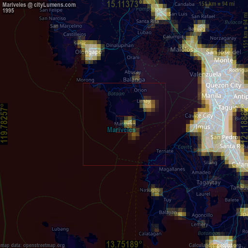
» NASA, Earths city lights 1995
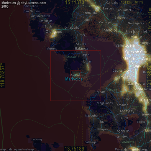
» NASA city lights 2003
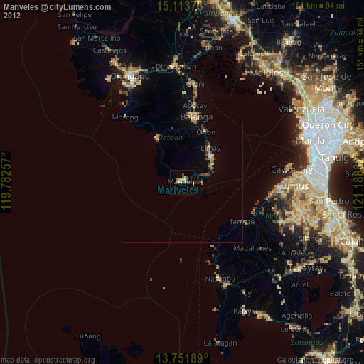
» Earth at Night: Flat Maps 2012, 2016