Naic night lights from space
Night Light of Naic (Calabarzon) from space (Philippines) Src. Average luminocity for 10x10km area is 7.0649% and for 50x50km: 17.8154%.
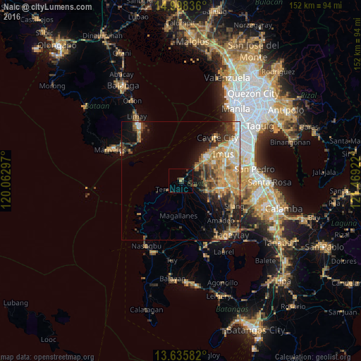
Analysis of Naic night lights 2016
Square area 10x10 km:
 0%
0%90-99
0%80-89
0%70-79
1.73%60-69
0%50-59
0.87%40-49
1.95%30-39
4.55%20-29
3.25%10-19
2.6%0-9
85.06%Square area 50x50 km:
1.57%90-99
2.12%80-89
2.08%70-79
4.84%60-69
4.46%50-59
1.94%40-49
3.03%30-39
2.8%20-29
3.39%10-19
8.05%0-9
65.73%Clear (daylight) street map image can be seen on geolist.org.
Map coordinates:
14° 59' 54.1" North, 120° 3' 46.7" East
14° 19' 5.2" North, 120° 45' 57.9" East
13° 38' 9" North, 121° 28' 9.2" East
Some cities around Naic sort by population:
• General Trias
14.6 km =9.1 mi,  58°
58°
• Maragondon
5.8 km =3.6 mi,  211°
211°
• Ternate
6.2 km =3.9 mi,  239°
239°
• Halayhay
8 km =5 mi,  39°
39°
• Palangue
6.2 km =3.9 mi,  127°
127°
• Paradahan
10.2 km =6.3 mi,  88°
88°
• Pasong Kawayan Primero
12.7 km =7.9 mi,  77°
77°
• Pantijan No 2
10.2 km =6.3 mi,  158°
158°
1698548 (p: 55,195)
Sources (retrieved 2019-11-25):
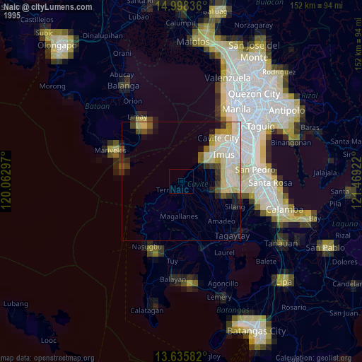
» NASA, Earths city lights 1995
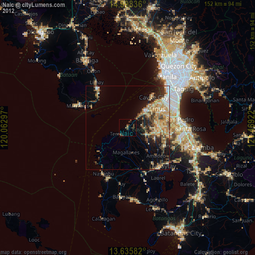
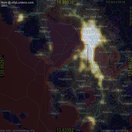
» NASA city lights 2003
» Earth at Night: Flat Maps 2012, 2016