Boroon night lights from space
Night Light of Boroon (Northern Mindanao) from space (Philippines) Src. Average luminocity for 10x10km area is 12.1467% and for 50x50km: 2.7095%.
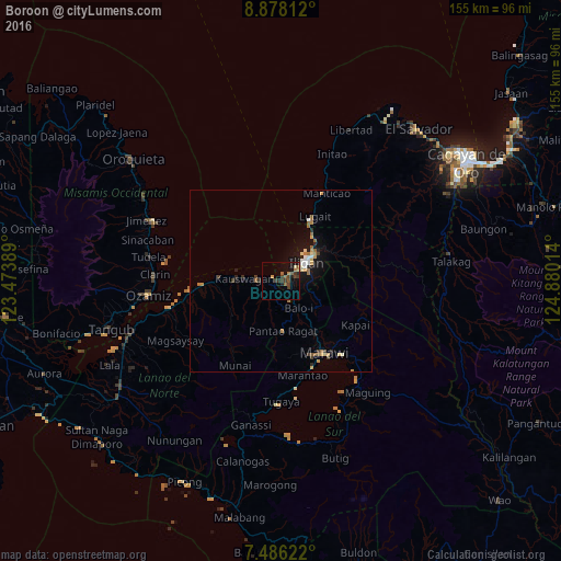
Analysis of Boroon night lights 2016
Square area 10x10 km:
 0%
0%90-99
0.62%80-89
1.03%70-79
1.24%60-69
1.65%50-59
3.1%40-49
3.31%30-39
5.37%20-29
2.27%10-19
8.88%0-9
72.52%Square area 50x50 km:
0.23%90-99
0.21%80-89
0.34%70-79
0.43%60-69
0.46%50-59
0.48%40-49
0.28%30-39
0.51%20-29
0.37%10-19
2.01%0-9
94.69%Clear (daylight) street map image can be seen on geolist.org.
Map coordinates:
8° 52' 41.2" North, 123° 28' 26" East
8° 10' 58" North, 124° 10' 37.2" East
7° 29' 10.4" North, 124° 52' 48.5" East
Some cities around Boroon sort by population:
• Iligan
8.9 km =5.5 mi,  54°
54°
• Mantampay
4.7 km =2.9 mi,  112°
112°
• Dalipuga
17.1 km =10.6 mi,  30°
30°
• Mamungan
8.6 km =5.3 mi,  147°
147°
• Kauswagan
10.2 km =6.3 mi,  275°
275°
• Linamon
1.6 km =1 mi, 282°
• Maria Cristina
3.5 km =2.2 mi,  122°
122°
• Libertad
9.7 km =6 mi,  39°
39°
1722356 (p: 15,490)
Sources (retrieved 2019-11-25):
» Earth at Night: Flat Maps 2012, 2016