Iligan night lights from space
Night Light of Iligan (Northern Mindanao) from space (Philippines) Src. Average luminocity for 10x10km area is 30.8306% and for 50x50km: 2.275%.
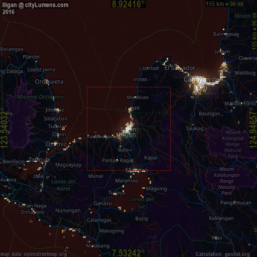
Analysis of Iligan night lights 2016
Square area 10x10 km:
 5.17%
5.17%90-99
4.55%80-89
4.96%70-79
3.51%60-69
4.96%50-59
3.72%40-49
2.07%30-39
1.86%20-29
3.1%10-19
41.94%0-9
24.17%Square area 50x50 km:
0.23%90-99
0.2%80-89
0.24%70-79
0.24%60-69
0.4%50-59
0.4%40-49
0.23%30-39
0.42%20-29
0.34%10-19
2.01%0-9
95.28%Clear (daylight) street map image can be seen on geolist.org.
Map coordinates:
8° 55' 27" North, 123° 32' 25.2" East
8° 13' 44" North, 124° 14' 36.4" East
7° 31' 56.7" North, 124° 56' 47.7" East
Some cities around Iligan sort by population:
• Mantampay
7.5 km =4.7 mi,  203°
203°
• Boroon
8.9 km =5.5 mi,  234°
234°
• Dalipuga
9.7 km =6 mi,  7°
7°
• Lugait
12.6 km =7.8 mi, 7°
• Linamon
10.1 km =6.3 mi,  241°
241°
• Maria Cristina
8.2 km =5.1 mi,  211°
211°
• Rogongon
9.9 km =6.2 mi,  87°
87°
• Libertad
2.6 km =1.6 mi,  334°
334°
1711084 (p: 342,618)
Sources (retrieved 2019-11-25):
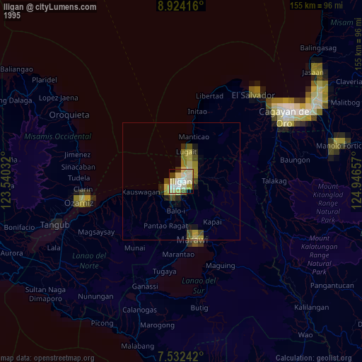
» NASA, Earths city lights 1995
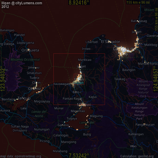
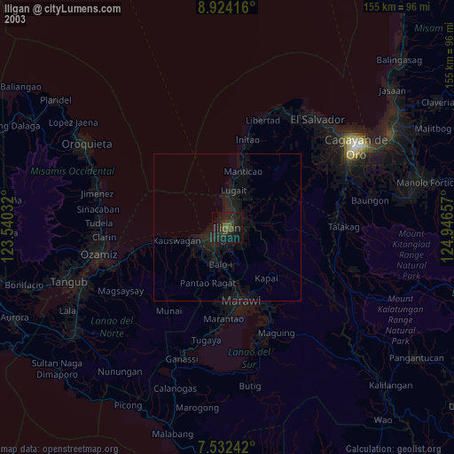
» NASA city lights 2003
» Earth at Night: Flat Maps 2012, 2016