Jagna night lights from space
Night Light of Jagna (Central Visayas) from space (Philippines) Src. Average luminocity for 10x10km area is 0.6277% and for 50x50km: 0.0834%.
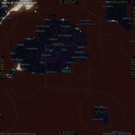
Analysis of Jagna night lights 2016
Square area 10x10 km:
 0%
0%90-99
0%80-89
0%70-79
0%60-69
0.87%50-59
0%40-49
0%30-39
0%20-29
0%10-19
0%0-9
99.13%Square area 50x50 km:
0%90-99
0%80-89
0%70-79
0%60-69
0.04%50-59
0.03%40-49
0.03%30-39
0.03%20-29
0.03%10-19
0.01%0-9
99.83%Clear (daylight) street map image can be seen on geolist.org.
Map coordinates:
10° 20' 43.9" North, 123° 39' 59.7" East
9° 39' 11.2" North, 124° 22' 10.9" East
8° 57' 33.2" North, 125° 4' 22.2" East
Some cities around Jagna sort by population:
• Tagbilaran City
56.7 km =35.2 mi,  270°
270°
• Loboc
36.7 km =22.8 mi, 267°
• Tibigan
55.6 km =34.5 mi,  306°
306°
• Talibon
55.4 km =34.4 mi,  354°
354°
• Carmen
26.7 km =16.6 mi, 314°
• Mabini
28.8 km =17.9 mi,  35°
35°
• Bien Unido
53.8 km =33.4 mi,  0°
0°
• San Francisco
56.7 km =35.2 mi, 353°
1710378 (p: 32,566)
Sources (retrieved 2019-11-25):
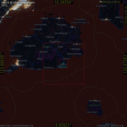
» Earth at Night: Flat Maps 2012, 2016