Maasin night lights from space
Night Light of Maasin (Eastern Visayas) from space (Philippines) Src. Average luminocity for 10x10km area is 3.4649% and for 50x50km: 0.1835%.
Analysis of Maasin night lights 2016
Square area 10x10 km:
 0%
0%90-99
0%80-89
0.83%70-79
0.83%60-69
1.65%50-59
0%40-49
0.83%30-39
0.21%20-29
0.62%10-19
0.83%0-9
94.21%Square area 50x50 km:
0%90-99
0%80-89
0.03%70-79
0.03%60-69
0.1%50-59
0%40-49
0.04%30-39
0.03%20-29
0.03%10-19
0.03%0-9
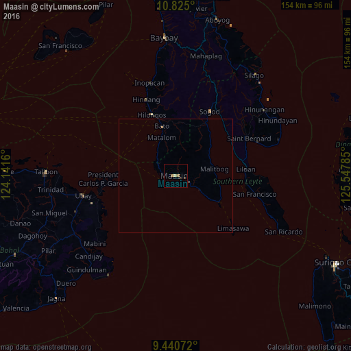
99.7%Clear (daylight) street map image can be seen on geolist.org.
Map coordinates:
10° 49' 30" North, 124° 8' 29.8" East
10° 8' 1" North, 124° 50' 41" East
9° 26' 26.6" North, 125° 32' 52.3" East
Some cities around Maasin sort by population:
• Baybay
60.8 km =37.8 mi,  355°
355°
• Talibon
56.9 km =35.4 mi,  271°
271°
• Bato
22.4 km =13.9 mi,  344°
344°
• Sogod
31.7 km =19.7 mi,  28°
28°
• Hilongos
28.7 km =17.8 mi, 338°
• Mabini
46.3 km =28.8 mi,  229°
229°
• Bien Unido
51.1 km =31.8 mi, 270°
• San Francisco
58.5 km =36.4 mi, 272°
1704758 (p: 18,313)
Sources (retrieved 2019-11-25):
» Earth at Night: Flat Maps 2012, 2016