Bato night lights from space
Night Light of Bato (Eastern Visayas) from space (Philippines) Src. Average luminocity for 10x10km area is 0.7934% and for 50x50km: 0.314%.
Analysis of Bato night lights 2016
Square area 10x10 km:
 0%
0%90-99
0%80-89
0%70-79
0%60-69
0.83%50-59
0%40-49
0%30-39
0%20-29
0.83%10-19
0%0-9
98.35%Square area 50x50 km:
0%90-99
0%80-89
0.07%70-79
0.03%60-69
0.15%50-59
0.05%40-49
0.11%30-39
0.03%20-29
0.06%10-19
0.03%0-9
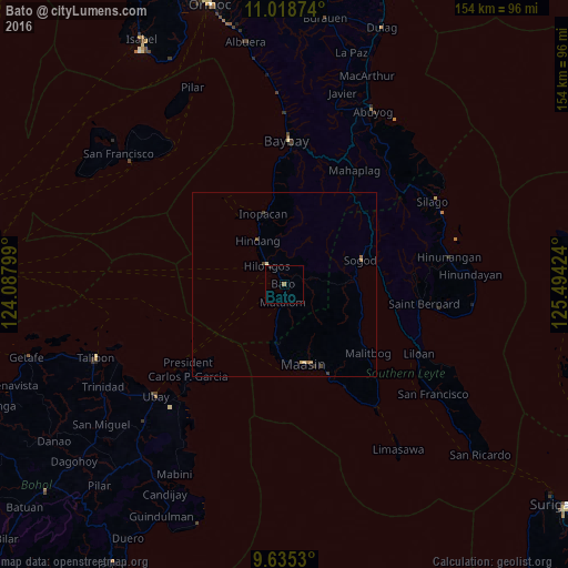
99.46%Clear (daylight) street map image can be seen on geolist.org.
Map coordinates:
11° 1' 7.5" North, 124° 5' 16.8" East
10° 19' 40" North, 124° 47' 28" East
9° 38' 7.1" North, 125° 29' 39.3" East
Some cities around Bato sort by population:
• Maasin
22.4 km =13.9 mi,  164°
164°
• Baybay
39 km =24.2 mi,  1°
1°
• Abuyog
52.4 km =32.6 mi,  27°
27°
• Talibon
54.7 km =34 mi,  248°
248°
• Sogod
21.8 km =13.5 mi,  73°
73°
• Hilongos
6.9 km =4.3 mi,  318°
318°
• Bien Unido
50 km =31.1 mi,  244°
244°
• San Francisco
55.7 km =34.6 mi, 250°
1726172 (p: 9,952)
Sources (retrieved 2019-11-25):
» Earth at Night: Flat Maps 2012, 2016