Hilongos night lights from space
Night Light of Hilongos (Eastern Visayas) from space (Philippines) Src. Average luminocity for 10x10km area is 1.4256% and for 50x50km: 0.1195%.
Analysis of Hilongos night lights 2016
Square area 10x10 km:
 0%
0%90-99
0%80-89
0.83%70-79
0%60-69
0%50-59
0%40-49
0.83%30-39
0%20-29
0.83%10-19
0%0-9
97.52%Square area 50x50 km:
0%90-99
0%80-89
0.03%70-79
0%60-69
0.03%50-59
0.03%40-49
0.07%30-39
0%20-29
0.03%10-19
0%0-9
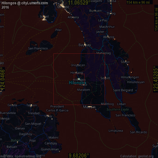
99.8%Clear (daylight) street map image can be seen on geolist.org.
Map coordinates:
11° 3' 55" North, 124° 2' 47.8" East
10° 22' 28" North, 124° 44' 59" East
9° 40' 55.4" North, 125° 27' 10.3" East
Some cities around Hilongos sort by population:
• Maasin
28.7 km =17.8 mi,  158°
158°
• Baybay
34.3 km =21.3 mi,  9°
9°
• Abuyog
50.3 km =31.3 mi,  34°
34°
• Talibon
52.8 km =32.8 mi,  241°
241°
• Bato
6.9 km =4.3 mi,  138°
138°
• San Francisco
50.3 km =31.3 mi,  306°
306°
• Sogod
25.4 km =15.8 mi,  87°
87°
• Bien Unido
48.5 km =30.1 mi, 237°
1711742 (p: 7,329)
Sources (retrieved 2019-11-25):
» Earth at Night: Flat Maps 2012, 2016