San Miguel night lights from space
Night Light of San Miguel (Northern Mindanao) from space (Philippines) Src. Average luminocity for 10x10km area is 0% and for 50x50km: 0.0566%.
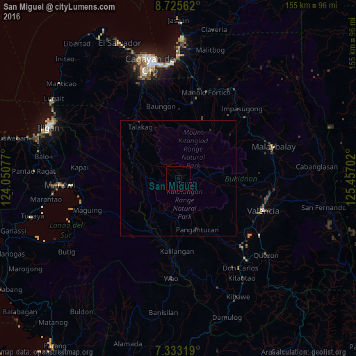
Analysis of San Miguel night lights 2016
Square area 10x10 km:
 0%
0%90-99
0%80-89
0%70-79
0%60-69
0%50-59
0%40-49
0%30-39
0%20-29
0%10-19
0%0-9
100%Square area 50x50 km:
0%90-99
0%80-89
0%70-79
0%60-69
0%50-59
0%40-49
0.02%30-39
0.05%20-29
0.03%10-19
0.08%0-9
99.81%Clear (daylight) street map image can be seen on geolist.org.
Map coordinates:
8° 43' 32.2" North, 124° 3' 2.8" East
8° 1' 48" North, 124° 45' 14" East
7° 19' 59.5" North, 125° 27' 25.3" East
Some cities around San Miguel sort by population:
• Kalilangan
31.7 km =19.7 mi,  181°
181°
• Talakag
28.3 km =17.6 mi,  323°
323°
• Lurugan
23.5 km =14.6 mi,  93°
93°
• Dagumba-an
22.6 km =14 mi,  307°
307°
• Kibangay
15.5 km =9.6 mi,  81°
81°
• Libona
34.4 km =21.4 mi,  356°
356°
• Sumilao
35.5 km =22.1 mi,  36°
36°
• Lantapan
30.4 km =18.9 mi,  96°
96°
1689020 (p: 5,054)
Sources (retrieved 2019-11-25):
» Earth at Night: Flat Maps 2012, 2016