General Luna night lights from space
Night Light of General Luna (Calabarzon) from space (Philippines) Src. Average luminocity for 10x10km area is 0% and for 50x50km: 0.1306%.
Analysis of General Luna night lights 2016
Square area 10x10 km:
 0%
0%90-99
0%80-89
0%70-79
0%60-69
0%50-59
0%40-49
0%30-39
0%20-29
0%10-19
0%0-9
100%Square area 50x50 km:
0%90-99
0%80-89
0.02%70-79
0.08%60-69
0%50-59
0%40-49
0.01%30-39
0.06%20-29
0.07%10-19
0.03%0-9
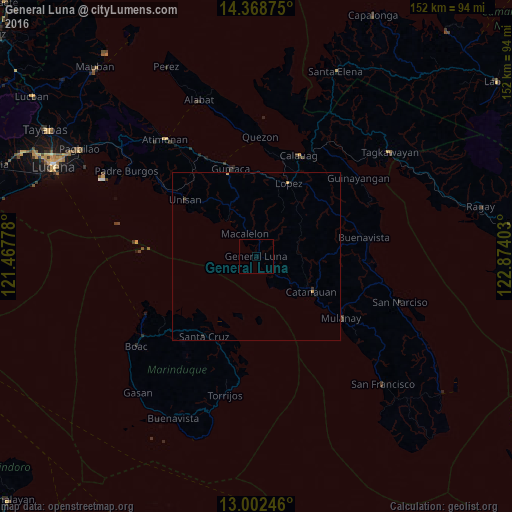
99.74%Clear (daylight) street map image can be seen on geolist.org.
Map coordinates:
14° 22' 7.5" North, 121° 28' 4" East
13° 41' 11.8" North, 122° 10' 15.2" East
13° 0' 8.9" North, 122° 52' 26.5" East
Some cities around General Luna sort by population:
• Catanauan
19.3 km =12 mi,  122°
122°
• Lopez
24 km =14.9 mi,  23°
23°
• Gumaca
27.2 km =16.9 mi,  343°
343°
• Santa Cruz
28.1 km =17.5 mi,  213°
213°
• Pitogo
13.9 km =8.6 mi,  321°
321°
• Cambuga
31.1 km =19.3 mi,  104°
104°
• Macalelon
7.6 km =4.7 mi,  332°
332°
• Rosario
22.6 km =14 mi,  29°
29°
1713039 (p: 9,177)
Sources (retrieved 2019-11-25):
» Earth at Night: Flat Maps 2012, 2016