Rosario night lights from space
Night Light of Rosario (Calabarzon) from space (Philippines) Src. Average luminocity for 10x10km area is 0.8264% and for 50x50km: 0.1743%.
Analysis of Rosario night lights 2016
Square area 10x10 km:
 0%
0%90-99
0%80-89
0%70-79
0.83%60-69
0%50-59
0%40-49
0%30-39
0%20-29
0%10-19
0.83%0-9
98.35%Square area 50x50 km:
0%90-99
0%80-89
0.02%70-79
0.08%60-69
0%50-59
0%40-49
0.03%30-39
0.1%20-29
0.1%10-19
0.07%0-9
99.6%Clear (daylight) street map image can be seen on geolist.org.
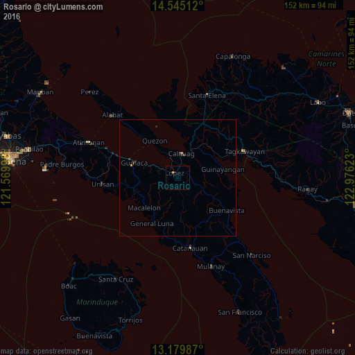
Map coordinates:
14° 32' 42.4" North, 121° 34' 11.9" East
13° 51' 48.6" North, 122° 16' 23.2" East
13° 10' 47.5" North, 122° 58' 34.4" East
Some cities around Rosario sort by population:
• Catanauan
30.6 km =19 mi,  170°
170°
• Lopez
2.7 km =1.7 mi,  328°
328°
• Gumaca
19.7 km =12.2 mi,  288°
288°
• Calauag
10.6 km =6.6 mi,  8°
8°
• General Luna
22.6 km =14 mi,  209°
209°
• Pitogo
21.6 km =13.4 mi,  245°
245°
• Quezon
18.5 km =11.5 mi, 328°
• Macalelon
19.5 km =12.1 mi,  228°
228°
1691488 (p: 5,563)
Sources (retrieved 2019-11-25):
» Earth at Night: Flat Maps 2012, 2016