Gumaca night lights from space
Night Light of Gumaca (Calabarzon) from space (Philippines) Src. Average luminocity for 10x10km area is 1.7087% and for 50x50km: 0.3578%.
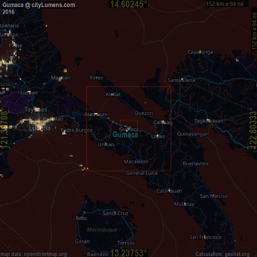
Analysis of Gumaca night lights 2016
Square area 10x10 km:
 0%
0%90-99
0%80-89
0.41%70-79
0.41%60-69
0%50-59
0%40-49
0%30-39
1.65%20-29
0.83%10-19
0.83%0-9
95.87%Square area 50x50 km:
0%90-99
0%80-89
0.07%70-79
0.1%60-69
0%50-59
0.03%40-49
0.04%30-39
0.19%20-29
0.3%10-19
0.13%0-9
99.14%Clear (daylight) street map image can be seen on geolist.org.
Map coordinates:
14° 36' 8.8" North, 121° 23' 49.5" East
13° 55' 15.6" North, 122° 6' 0.7" East
13° 14' 15.1" North, 122° 48' 12" East
Some cities around Gumaca sort by population:
• Atimonan
21.4 km =13.3 mi,  295°
295°
• Lopez
17.8 km =11.1 mi,  103°
103°
• Calauag
20.7 km =12.9 mi,  78°
78°
• Alabat
22.1 km =13.7 mi,  334°
334°
• Pitogo
15.3 km =9.5 mi,  184°
184°
• Quezon
13 km =8.1 mi,  43°
43°
• Macalelon
19.8 km =12.3 mi,  167°
167°
• Rosario
19.7 km =12.2 mi,  108°
108°
1712162 (p: 22,496)
Sources (retrieved 2019-11-25):
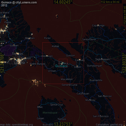
» Earth at Night: Flat Maps 2012, 2016