Santa Cruz night lights from space
Night Light of Santa Cruz (Mimaropa) from space (Philippines) Src. Average luminocity for 10x10km area is 0.2066% and for 50x50km: 0.0525%.
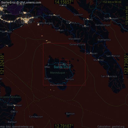
Analysis of Santa Cruz night lights 2016
Square area 10x10 km:
 0%
0%90-99
0%80-89
0%70-79
0%60-69
0%50-59
0%40-49
0%30-39
0%20-29
0.83%10-19
0%0-9
99.17%Square area 50x50 km:
0%90-99
0%80-89
0%70-79
0%60-69
0%50-59
0%40-49
0.02%30-39
0%20-29
0.1%10-19
0.07%0-9
99.82%Clear (daylight) street map image can be seen on geolist.org.
Map coordinates:
14° 9' 30.9" North, 121° 19' 27.8" East
13° 28' 32.9" North, 122° 1' 39" East
12° 47' 27.9" North, 122° 43' 50.3" East
Some cities around Santa Cruz sort by population:
• Catanauan
34.3 km =21.3 mi,  67°
67°
• General Luna
28.1 km =17.5 mi,  33°
33°
• Pitogo
34.9 km =21.7 mi,  11°
11°
• Mulanay
41.1 km =25.5 mi,  82°
82°
• Boac
20.5 km =12.7 mi,  260°
260°
• Cambuga
48.3 km =30 mi, 71°
• Macalelon
32.5 km =20.2 mi,  21°
21°
• Yuni
49.9 km =31 mi,  98°
98°
1688271 (p: 9,863)
Sources (retrieved 2019-11-25):
» Earth at Night: Flat Maps 2012, 2016