Cambuga night lights from space
Night Light of Cambuga (Calabarzon) from space (Philippines) Src. Average luminocity for 10x10km area is 0% and for 50x50km: 0.0828%.
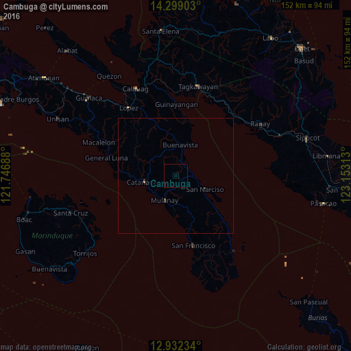
Analysis of Cambuga night lights 2016
Square area 10x10 km:
 0%
0%90-99
0%80-89
0%70-79
0%60-69
0%50-59
0%40-49
0%30-39
0%20-29
0%10-19
0%0-9
100%Square area 50x50 km:
0%90-99
0%80-89
0%70-79
0.03%60-69
0%50-59
0%40-49
0.02%30-39
0.11%20-29
0%10-19
0%0-9
99.83%Clear (daylight) street map image can be seen on geolist.org.
Map coordinates:
14° 17' 56.5" North, 121° 44' 48.8" East
13° 37' 0" North, 122° 27' 0" East
12° 55' 56.4" North, 123° 9' 11.3" East
Some cities around Cambuga sort by population:
• Catanauan
14.1 km =8.8 mi,  259°
259°
• Aurora
30.8 km =19.1 mi,  165°
165°
• San Narciso
13.7 km =8.5 mi,  113°
113°
• General Luna
31.1 km =19.3 mi,  284°
284°
• Mulanay
11.6 km =7.2 mi,  205°
205°
• Yuni
23 km =14.3 mi, 170°
• Cawayan
28.5 km =17.7 mi, 166°
• Ibabang Tayuman
24.7 km =15.3 mi,  163°
163°
1719722 (p: 6,432)
Sources (retrieved 2019-11-25):
» Earth at Night: Flat Maps 2012, 2016