Lopez night lights from space
Night Light of Lopez (Calabarzon) from space (Philippines) Src. Average luminocity for 10x10km area is 0.8264% and for 50x50km: 0.1797%.

Analysis of Lopez night lights 2016
Square area 10x10 km:
 0%
0%90-99
0%80-89
0%70-79
0.83%60-69
0%50-59
0%40-49
0%30-39
0%20-29
0%10-19
0.83%0-9
98.35%Square area 50x50 km:
0%90-99
0%80-89
0.02%70-79
0.08%60-69
0%50-59
0%40-49
0.03%30-39
0.1%20-29
0.1%10-19
0.1%0-9
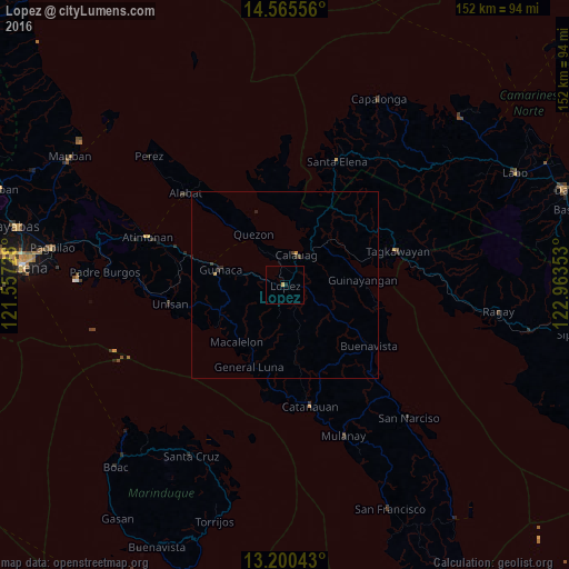
99.57%Clear (daylight) street map image can be seen on geolist.org.
Map coordinates:
14° 33' 56" North, 121° 33' 26.2" East
13° 53' 2.4" North, 122° 15' 37.4" East
13° 12' 1.5" North, 122° 57' 48.7" East
Some cities around Lopez sort by population:
• Gumaca
17.8 km =11.1 mi,  283°
283°
• Calauag
8.7 km =5.4 mi,  20°
20°
• General Luna
24 km =14.9 mi,  203°
203°
• Pitogo
21.5 km =13.4 mi,  238°
238°
• Tagkawayan Sabang
31.4 km =19.5 mi,  67°
67°
• Quezon
15.9 km =9.9 mi,  328°
328°
• Macalelon
20.1 km =12.5 mi,  220°
220°
• Rosario
2.7 km =1.7 mi,  148°
148°
1705572 (p: 25,752)
Sources (retrieved 2019-11-25):
» Earth at Night: Flat Maps 2012, 2016