Pambujan night lights from space
Night Light of Pambujan (Eastern Visayas) from space (Philippines) Src. Average luminocity for 10x10km area is 0.4502% and for 50x50km: 0.1297%.
Analysis of Pambujan night lights 2016
Square area 10x10 km:
 0%
0%90-99
0%80-89
0%70-79
0%60-69
0%50-59
0%40-49
0.87%30-39
0%20-29
0%10-19
0%0-9
99.13%Square area 50x50 km:
0%90-99
0%80-89
0%70-79
0.03%60-69
0.03%50-59
0.03%40-49
0.03%30-39
0.08%20-29
0%10-19
0.03%0-9
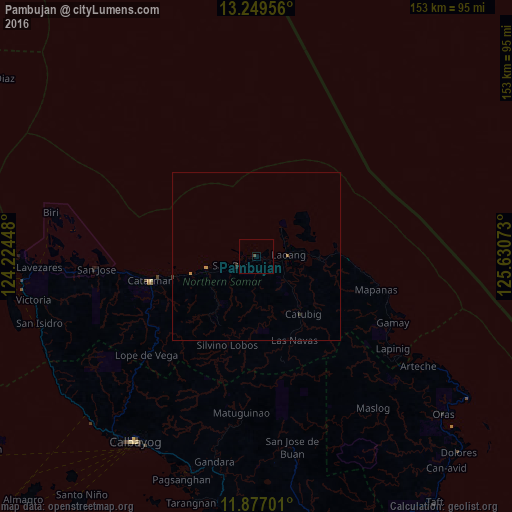
99.75%Clear (daylight) street map image can be seen on geolist.org.
Map coordinates:
13° 14' 58.4" North, 124° 13' 28.1" East
12° 33' 51.1" North, 124° 55' 39.4" East
11° 52' 37.2" North, 125° 37' 50.6" East
Some cities around Pambujan sort by population:
• Calbayog City
66 km =41 mi,  213°
213°
• Catarman
32.3 km =20.1 mi,  257°
257°
• Laoang
9.4 km =5.8 mi,  86°
86°
• Gamay
44.8 km =27.8 mi,  116°
116°
• Palapag
20.4 km =12.7 mi,  95°
95°
• San Policarpio
67.5 km =41.9 mi,  215°
215°
• Mondragon
19.8 km =12.3 mi,  254°
254°
• Arteche
61.6 km =38.3 mi, 122°
1695887 (p: 10,812)
Sources (retrieved 2019-11-25):
» Earth at Night: Flat Maps 2012, 2016