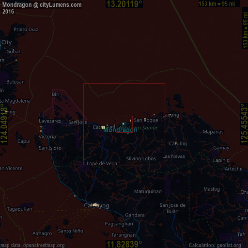
Mondragon night lights from space
Night Light of Mondragon (Eastern Visayas) from space (Philippines) Src. Average luminocity for 10x10km area is 1.3766% and for 50x50km: 0.2449%.
Analysis of Mondragon night lights 2016
Square area 10x10 km:
 0%
0%90-99
0%80-89
0%70-79
0.87%60-69
0.87%50-59
0%40-49
0%30-39
0%20-29
0%10-19
0%0-9
98.27%Square area 50x50 km:
0%90-99
0%80-89
0.03%70-79
0.07%60-69
0.08%50-59
0.02%40-49
0.09%30-39
0.08%20-29
0%10-19
0.03%0-9
99.59%Clear (daylight) street map image can be seen on geolist.org.
Map coordinates:
13° 12' 4.3" North, 124° 2' 57" East
12° 30' 56.5" North, 124° 45' 8.3" East
11° 49' 42.2" North, 125° 27' 19.5" East
Some cities around Mondragon sort by population:
• Calbayog City
52.7 km =32.7 mi,  198°
198°
• Catarman
12.6 km =7.8 mi,  261°
261°
• Laoang
29 km =18 mi,  78°
78°
• Pambujan
19.8 km =12.3 mi,  74°
74°
• Palapag
39.5 km =24.5 mi,  85°
85°
• Allen
50.8 km =31.6 mi,  268°
268°
• Alegria
48.1 km =29.9 mi,  254°
254°
• San Policarpio
53.5 km =33.2 mi, 201°
1699342 (p: 5,198)
Sources (retrieved 2019-11-25):
» Earth at Night: Flat Maps 2012, 2016