Maco night lights from space
Night Light of Maco (Davao) from space (Philippines) Src. Average luminocity for 10x10km area is 1.9675% and for 50x50km: 4.1819%.
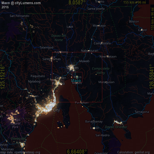
Analysis of Maco night lights 2016
Square area 10x10 km:
 0%
0%90-99
0%80-89
0%70-79
0.87%60-69
0%50-59
0%40-49
0%30-39
0.87%20-29
0.87%10-19
0%0-9
97.4%Square area 50x50 km:
0.45%90-99
0.5%80-89
0.56%70-79
0.47%60-69
0.45%50-59
0.74%40-49
0.6%30-39
0.78%20-29
0.81%10-19
3.5%0-9
91.14%Clear (daylight) street map image can be seen on geolist.org.
Map coordinates:
8° 3' 31.3" North, 125° 9' 7.8" East
7° 21' 43" North, 125° 51' 19" East
6° 39' 50.7" North, 126° 33' 30.3" East
Some cities around Maco sort by population:
• Magugpo Poblacion
11 km =6.8 mi,  329°
329°
• Panabo
19.8 km =12.3 mi,  252°
252°
• Cabayangan
14.4 km =8.9 mi,  290°
290°
• Carmen
16.4 km =10.2 mi,  269°
269°
• Corocotan
10 km =6.2 mi, 294°
• Alejal
21.7 km =13.5 mi,  276°
276°
• Cuambog
6 km =3.7 mi,  187°
187°
• Pandasan
8.7 km =5.4 mi,  181°
181°
1704271 (p: 12,520)
Sources (retrieved 2019-11-25):
» Earth at Night: Flat Maps 2012, 2016