Carcar night lights from space
Night Light of Carcar (Central Visayas) from space (Philippines) Src. Average luminocity for 10x10km area is 8.3988% and for 50x50km: 4.4827%.

Analysis of Carcar night lights 2016
Square area 10x10 km:
 0%
0%90-99
0%80-89
1.24%70-79
0.41%60-69
1.65%50-59
0%40-49
3.72%30-39
5.37%20-29
3.31%10-19
1.65%0-9
82.64%Square area 50x50 km:
0.66%90-99
0.59%80-89
0.44%70-79
0.4%60-69
0.71%50-59
0.38%40-49
0.98%30-39
0.82%20-29
1.4%10-19
2.89%0-9
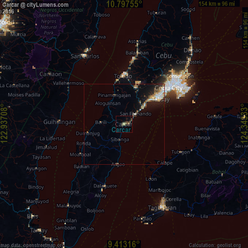
90.75%Clear (daylight) street map image can be seen on geolist.org.
Map coordinates:
10° 47' 51.2" North, 122° 56' 13.5" East
10° 6' 22" North, 123° 38' 24.7" East
9° 24' 47.4" North, 124° 20' 36" East
Some cities around Carcar sort by population:
• San Fernando
9.7 km =6 mi,  49°
49°
• Ocaña
4.8 km =3 mi,  201°
201°
• Sibonga
10.2 km =6.3 mi,  194°
194°
• Guadalupe
3.8 km =2.4 mi,  287°
287°
• Perrelos
3.9 km =2.4 mi,  71°
71°
• Can-asujan
3.2 km =2 mi,  35°
35°
• Langtad
13.6 km =8.5 mi, 49°
• Valencia
4.5 km =2.8 mi,  317°
317°
1718436 (p: 40,739)
Sources (retrieved 2019-11-25):
» Earth at Night: Flat Maps 2012, 2016