Sibonga night lights from space
Night Light of Sibonga (Central Visayas) from space (Philippines) Src. Average luminocity for 10x10km area is 0.3223% and for 50x50km: 1.8331%.
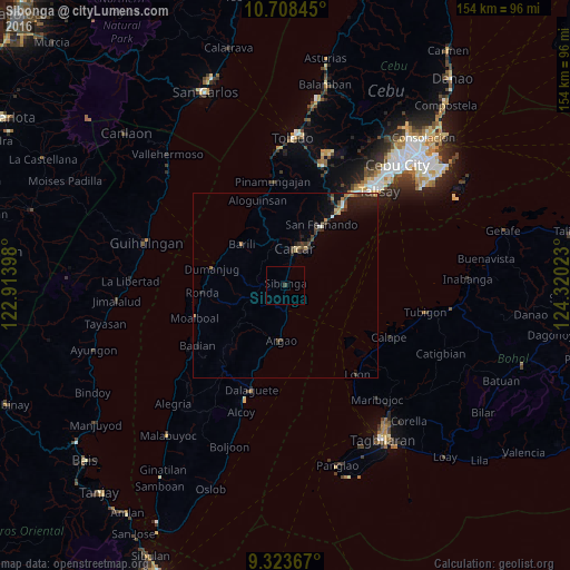
Analysis of Sibonga night lights 2016
Square area 10x10 km:
 0%
0%90-99
0%80-89
0%70-79
0%60-69
0%50-59
0%40-49
0%30-39
0.83%20-29
0%10-19
0%0-9
99.17%Square area 50x50 km:
0.15%90-99
0.1%80-89
0.17%70-79
0.08%60-69
0.41%50-59
0.14%40-49
0.48%30-39
0.61%20-29
0.51%10-19
1.57%0-9
95.77%Clear (daylight) street map image can be seen on geolist.org.
Map coordinates:
10° 42' 30.4" North, 122° 54' 50.3" East
10° 1' 0.5" North, 123° 37' 1.6" East
9° 19' 25.2" North, 124° 19' 12.8" East
Some cities around Sibonga sort by population:
• Carcar
10.2 km =6.3 mi,  14°
14°
• Ocaña
5.5 km =3.4 mi, 8°
• Guadalupe
11.1 km =6.9 mi,  354°
354°
• Perrelos
12.7 km =7.9 mi,  29°
29°
• Barili
16 km =9.9 mi,  313°
313°
• Can-asujan
13.3 km =8.3 mi,  19°
19°
• Argao
15.5 km =9.6 mi,  188°
188°
• Valencia
13.3 km =8.3 mi,  357°
357°
1686777 (p: 11,993)
Sources (retrieved 2019-11-25):
» Earth at Night: Flat Maps 2012, 2016