Valencia night lights from space
Night Light of Valencia (Central Visayas) from space (Philippines) Src. Average luminocity for 10x10km area is 4.4959% and for 50x50km: 3.9514%.
Analysis of Valencia night lights 2016
Square area 10x10 km:
 0%
0%90-99
0%80-89
1.24%70-79
0.41%60-69
0.83%50-59
0%40-49
1.65%30-39
2.48%20-29
0.83%10-19
1.24%0-9
91.32%Square area 50x50 km:
0.34%90-99
0.34%80-89
0.41%70-79
0.51%60-69
0.59%50-59
0.36%40-49
0.89%30-39
0.77%20-29
1.26%10-19
2.95%0-9
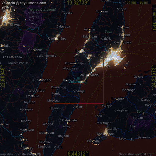
91.57%Clear (daylight) street map image can be seen on geolist.org.
Map coordinates:
10° 49' 38.6" North, 122° 54' 34.1" East
10° 8' 9.6" North, 123° 36' 45.4" East
9° 26' 35.2" North, 124° 18' 56.6" East
Some cities around Valencia sort by population:
• Carcar
4.5 km =2.8 mi,  137°
137°
• San Fernando
10.8 km =6.7 mi,  74°
74°
• Ocaña
7.9 km =4.9 mi,  170°
170°
• Guadalupe
2.2 km =1.4 mi,  195°
195°
• Perrelos
7 km =4.3 mi,  107°
107°
• Barili
11.4 km =7.1 mi,  258°
258°
• Can-asujan
5 km =3.1 mi,  97°
97°
• Bonbon
11.6 km =7.2 mi,  328°
328°
1680110 (p: 5,027)
Sources (retrieved 2019-11-25):
» Earth at Night: Flat Maps 2012, 2016