Langtad night lights from space
Night Light of Langtad (Central Visayas) from space (Philippines) Src. Average luminocity for 10x10km area is 18.0103% and for 50x50km: 11.2615%.
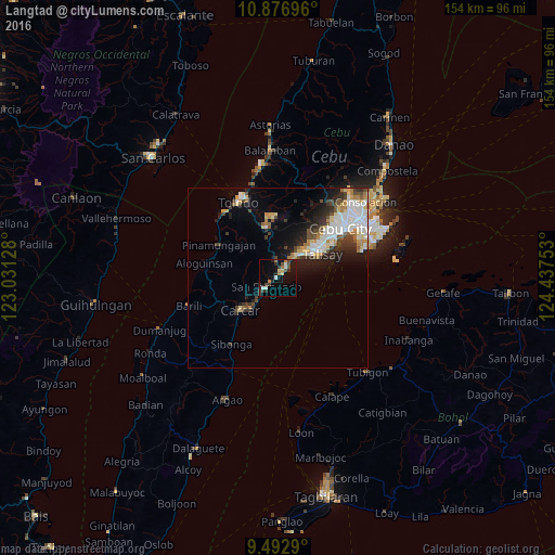
Analysis of Langtad night lights 2016
Square area 10x10 km:
 2.48%
2.48%90-99
1.65%80-89
1.86%70-79
0.62%60-69
3.93%50-59
1.03%40-49
5.17%30-39
3.51%20-29
3.93%10-19
11.98%0-9
63.84%Square area 50x50 km:
2.47%90-99
2.3%80-89
1.18%70-79
1.06%60-69
1.36%50-59
0.77%40-49
1.65%30-39
1.64%20-29
2.93%10-19
4.71%0-9
79.93%Clear (daylight) street map image can be seen on geolist.org.
Map coordinates:
10° 52' 37.1" North, 123° 1' 52.6" East
10° 11' 8.4" North, 123° 44' 3.8" East
9° 29' 34.4" North, 124° 26' 15.1" East
Some cities around Langtad sort by population:
• Talisay
14.2 km =8.8 mi,  62°
62°
• Minglanilla
9.5 km =5.9 mi,  45°
45°
• Carcar
13.6 km =8.5 mi,  229°
229°
• Naga
3.7 km =2.3 mi,  44°
44°
• San Fernando
3.9 km =2.4 mi, 228°
• Perrelos
10.1 km =6.3 mi,  220°
220°
• Can-asujan
10.5 km =6.5 mi, 233°
• Inayagan
6.6 km =4.1 mi,  34°
34°
1707523 (p: 5,531)
Sources (retrieved 2019-11-25):
» Earth at Night: Flat Maps 2012, 2016