San Fernando night lights from space
Night Light of San Fernando (Central Visayas) from space (Philippines) Src. Average luminocity for 10x10km area is 12.812% and for 50x50km: 8.9015%.
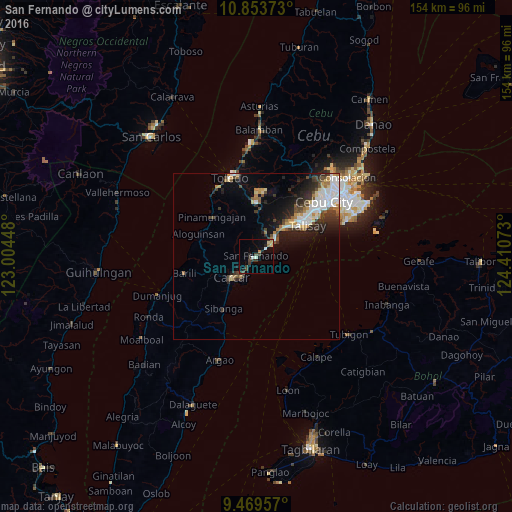
Analysis of San Fernando night lights 2016
Square area 10x10 km:
 1.24%
1.24%90-99
1.24%80-89
1.86%70-79
0.62%60-69
2.07%50-59
0%40-49
3.51%30-39
3.72%20-29
4.34%10-19
2.69%0-9
78.72%Square area 50x50 km:
1.86%90-99
1.61%80-89
0.83%70-79
0.84%60-69
1.02%50-59
0.68%40-49
1.47%30-39
1.52%20-29
2.61%10-19
4.18%0-9
83.37%Clear (daylight) street map image can be seen on geolist.org.
Map coordinates:
10° 51' 13.4" North, 123° 0' 16.1" East
10° 9' 44.6" North, 123° 42' 27.4" East
9° 28' 10.5" North, 124° 24' 38.6" East
Some cities around San Fernando sort by population:
• Carcar
9.7 km =6 mi,  229°
229°
• Naga
7.6 km =4.7 mi,  46°
46°
• Guadalupe
12.1 km =7.5 mi,  245°
245°
• Perrelos
6.3 km =3.9 mi,  216°
216°
• Can-asujan
6.6 km =4.1 mi,  236°
236°
• Inayagan
10.5 km =6.5 mi,  39°
39°
• Langtad
3.9 km =2.4 mi, 48°
• Valencia
10.8 km =6.7 mi, 254°
1690060 (p: 23,706)
Sources (retrieved 2019-11-25):
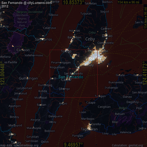
» Earth at Night: Flat Maps 2012, 2016