Quezon night lights from space
Night Light of Quezon (Western Visayas) from space (Philippines) Src. Average luminocity for 10x10km area is 0.0909% and for 50x50km: 0.8241%.
Analysis of Quezon night lights 2016
Square area 10x10 km:
 0%
0%90-99
0%80-89
0%70-79
0%60-69
0%50-59
0%40-49
0%30-39
0%20-29
0.41%10-19
0%0-9
99.59%Square area 50x50 km:
0.05%90-99
0.05%80-89
0.17%70-79
0.07%60-69
0.1%50-59
0.12%40-49
0.08%30-39
0.31%20-29
0.23%10-19
0.11%0-9
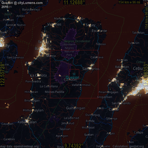
98.72%Clear (daylight) street map image can be seen on geolist.org.
Map coordinates:
11° 7' 36.8" North, 122° 33' 26.2" East
10° 26' 10.2" North, 123° 15' 37.4" East
9° 44' 38.1" North, 123° 57' 48.7" East
Some cities around Quezon sort by population:
• Canlaon
6.9 km =4.3 mi,  217°
217°
• Codcod
3.3 km =2.1 mi,  338°
338°
• Buluangan
10.1 km =6.3 mi,  122°
122°
• Guadalupe
12.5 km =7.8 mi,  80°
80°
• Vallehermoso
13.3 km =8.3 mi,  147°
147°
• Minuyan
19.1 km =11.9 mi,  296°
296°
• Cabacungan
18.7 km =11.6 mi,  228°
228°
• Malaiba
13 km =8.1 mi, 151°
1692210 (p: 11,681)
Sources (retrieved 2019-11-25):
» Earth at Night: Flat Maps 2012, 2016