Balangiga night lights from space
Night Light of Balangiga (Eastern Visayas) from space (Philippines) Src. Average luminocity for 10x10km area is 0.4199% and for 50x50km: 0.1375%.
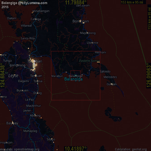
Analysis of Balangiga night lights 2016
Square area 10x10 km:
 0%
0%90-99
0%80-89
0%70-79
0%60-69
0%50-59
0%40-49
0.87%30-39
0%20-29
0%10-19
0%0-9
99.13%Square area 50x50 km:
0%90-99
0%80-89
0%70-79
0%60-69
0.07%50-59
0.07%40-49
0.07%30-39
0%20-29
0.03%10-19
0%0-9
99.76%Clear (daylight) street map image can be seen on geolist.org.
Map coordinates:
11° 47' 55.8" North, 124° 41' 3.8" East
11° 6' 35" North, 125° 23' 15" East
10° 25' 8.3" North, 126° 5' 26.3" East
Some cities around Balangiga sort by population:
• Tacloban
44.3 km =27.5 mi,  289°
289°
• Palo
43.6 km =27.1 mi,  276°
276°
• Tanauan
40.6 km =25.2 mi,  269°
269°
• Guiuan
37.7 km =23.4 mi,  103°
103°
• Dulag
42.6 km =26.5 mi,  245°
245°
• Llorente
37.8 km =23.5 mi,  27°
27°
• Basey
39.6 km =24.6 mi,  298°
298°
• Giporlos
6.9 km =4.3 mi,  80°
80°
1728500 (p: 5,592)
Sources (retrieved 2019-11-25):
» Earth at Night: Flat Maps 2012, 2016