Giporlos night lights from space
Night Light of Giporlos (Eastern Visayas) from space (Philippines) Src. Average luminocity for 10x10km area is 0.3896% and for 50x50km: 0.1403%.
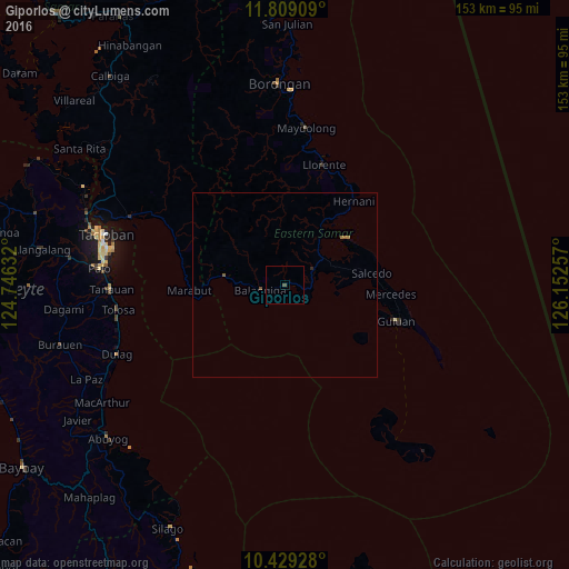
Analysis of Giporlos night lights 2016
Square area 10x10 km:
 0%
0%90-99
0%80-89
0%70-79
0%60-69
0%50-59
0%40-49
0.87%30-39
0%20-29
0%10-19
0%0-9
99.13%Square area 50x50 km:
0%90-99
0%80-89
0%70-79
0%60-69
0.07%50-59
0.07%40-49
0.07%30-39
0%20-29
0.03%10-19
0%0-9
99.76%Clear (daylight) street map image can be seen on geolist.org.
Map coordinates:
11° 48' 32.7" North, 124° 44' 46.8" East
11° 7' 12" North, 125° 26' 58" East
10° 25' 45.4" North, 126° 9' 9.3" East
Some cities around Giporlos sort by population:
• Palo
50.2 km =31.2 mi,  274°
274°
• Tanauan
47.4 km =29.5 mi, 268°
• Guiuan
31.5 km =19.6 mi,  108°
108°
• Dulag
49.2 km =30.6 mi,  247°
247°
• Llorente
34.1 km =21.2 mi,  17°
17°
• Basey
45.2 km =28.1 mi,  293°
293°
• Balangiga
6.9 km =4.3 mi,  260°
260°
• Maydolong
42.6 km =26.5 mi,  7°
7°
1712842 (p: 5,258)
Sources (retrieved 2019-11-25):
» Earth at Night: Flat Maps 2012, 2016