Bansalan night lights from space
Night Light of Bansalan (Davao) from space (Philippines) Src. Average luminocity for 10x10km area is 1.1255% and for 50x50km: 2.5391%.
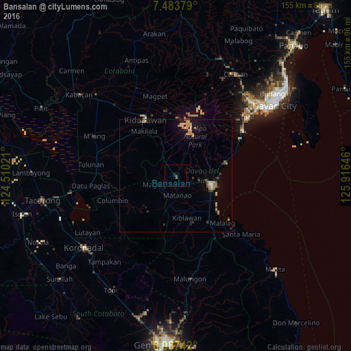
Analysis of Bansalan night lights 2016
Square area 10x10 km:
 0%
0%90-99
0%80-89
0%70-79
0%60-69
0%50-59
0.87%40-49
0%30-39
0.87%20-29
0%10-19
1.73%0-9
96.54%Square area 50x50 km:
0.05%90-99
0.11%80-89
0.33%70-79
1%60-69
0.36%50-59
0.21%40-49
0.15%30-39
0.57%20-29
0.27%10-19
1.39%0-9
95.56%Clear (daylight) street map image can be seen on geolist.org.
Map coordinates:
7° 29' 1.6" North, 124° 30' 36.8" East
6° 47' 10" North, 125° 12' 48" East
6° 5' 14.7" North, 125° 54' 59.3" East
Some cities around Bansalan sort by population:
• Digos
16.4 km =10.2 mi,  104°
104°
• Magsaysay
4 km =2.5 mi,  236°
236°
• Guihing Proper
19.1 km =11.9 mi,  126°
126°
• Padada
21.7 km =13.5 mi,  137°
137°
• Hagonoy
16.9 km =10.5 mi, 132°
• Matanao
12.7 km =7.9 mi,  158°
158°
• Malasila
19.8 km =12.3 mi,  332°
332°
• Tuban
19.6 km =12.2 mi,  77°
77°
1727080 (p: 21,391)
Sources (retrieved 2019-11-25):
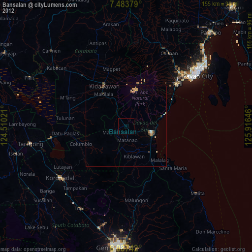
» Earth at Night: Flat Maps 2012, 2016