Malasila night lights from space
Night Light of Malasila (Soccsksargen) from space (Philippines) Src. Average luminocity for 10x10km area is 0.145% and for 50x50km: 2.4855%.
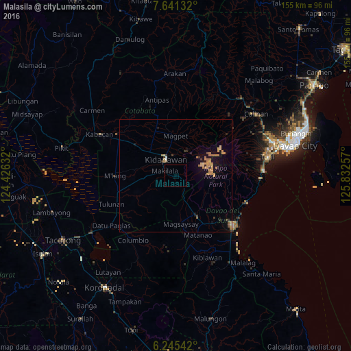
Analysis of Malasila night lights 2016
Square area 10x10 km:
 0%
0%90-99
0%80-89
0%70-79
0%60-69
0%50-59
0%40-49
0%30-39
0%20-29
0%10-19
0%0-9
100%Square area 50x50 km:
0.04%90-99
0.08%80-89
0.34%70-79
0.92%60-69
0.56%50-59
0.17%40-49
0.12%30-39
0.35%20-29
0.11%10-19
1.85%0-9
95.45%Clear (daylight) street map image can be seen on geolist.org.
Map coordinates:
7° 38' 28.8" North, 124° 25' 34.8" East
6° 56' 38" North, 125° 7' 46" East
6° 14' 43.5" North, 125° 49' 57.3" East
Some cities around Malasila sort by population:
• Kidapawan
8.4 km =5.2 mi,  328°
328°
• Bansalan
19.8 km =12.3 mi,  152°
152°
• Magsaysay
20.6 km =12.8 mi,  163°
163°
• Makilala
3.7 km =2.3 mi,  283°
283°
• President Roxas
24.8 km =15.4 mi,  340°
340°
• Amas
20.4 km =12.7 mi,  308°
308°
• Magpet
17.4 km =10.8 mi,  354°
354°
• Saguing
7 km =4.3 mi, 305°
1703020 (p: 5,864)
Sources (retrieved 2019-11-25):
» Earth at Night: Flat Maps 2012, 2016