Tuban night lights from space
Night Light of Tuban (Davao) from space (Philippines) Src. Average luminocity for 10x10km area is 3.1948% and for 50x50km: 4.74%.
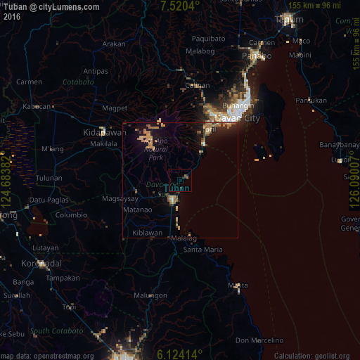
Analysis of Tuban night lights 2016
Square area 10x10 km:
 0%
0%90-99
0%80-89
0%70-79
0.87%60-69
0.87%50-59
0%40-49
0%30-39
2.16%20-29
1.3%10-19
0%0-9
94.81%Square area 50x50 km:
0.14%90-99
0.18%80-89
0.53%70-79
1.38%60-69
1.04%50-59
0.73%40-49
0.29%30-39
0.7%20-29
1.12%10-19
3.77%0-9
90.12%Clear (daylight) street map image can be seen on geolist.org.
Map coordinates:
7° 31' 13.4" North, 124° 41' 1.8" East
6° 49' 22" North, 125° 23' 13" East
6° 7' 26.9" North, 126° 5' 24.3" East
Some cities around Tuban sort by population:
• Digos
8.8 km =5.5 mi,  201°
201°
• Guihing Proper
15.8 km =9.8 mi,  193°
193°
• Astorga
12.1 km =7.5 mi,  39°
39°
• Sibulan
14.9 km =9.3 mi,  33°
33°
• Hagonoy
16.9 km =10.5 mi, 203°
• Baracatan
16.4 km =10.2 mi,  11°
11°
• Coronon
9.3 km =5.8 mi,  47°
47°
• Inawayan
18.1 km =11.2 mi, 31°
1681250 (p: 5,194)
Sources (retrieved 2019-11-25):
» Earth at Night: Flat Maps 2012, 2016