Guihing Proper night lights from space
Night Light of Guihing Proper (Davao) from space (Philippines) Src. Average luminocity for 10x10km area is 7.4242% and for 50x50km: 1.2935%.
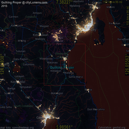
Analysis of Guihing Proper night lights 2016
Square area 10x10 km:
 0%
0%90-99
0.65%80-89
2.38%70-79
1.73%60-69
0%50-59
0%40-49
0%30-39
2.81%20-29
0.22%10-19
1.08%0-9
91.13%Square area 50x50 km:
0.03%90-99
0.1%80-89
0.12%70-79
0.34%60-69
0.17%50-59
0.17%40-49
0.14%30-39
0.49%20-29
0.22%10-19
0.28%0-9
97.94%Clear (daylight) street map image can be seen on geolist.org.
Map coordinates:
7° 22' 56.2" North, 124° 38' 57.8" East
6° 41' 4" North, 125° 21' 9" East
5° 59' 8.2" North, 126° 3' 20.3" East
Some cities around Guihing Proper sort by population:
• Digos
7.3 km =4.5 mi,  4°
4°
• Bansalan
19.1 km =11.9 mi,  306°
306°
• Padada
4.9 km =3 mi,  189°
189°
• Hagonoy
3 km =1.9 mi,  267°
267°
• Matanao
10.8 km =6.7 mi, 266°
• Sulop
9.6 km =6 mi, 185°
• Malalag
11.1 km =6.9 mi,  152°
152°
• Tuban
15.8 km =9.8 mi,  13°
13°
1712523 (p: 12,466)
Sources (retrieved 2019-11-25):
» Earth at Night: Flat Maps 2012, 2016