Matanao night lights from space
Night Light of Matanao (Davao) from space (Philippines) Src. Average luminocity for 10x10km area is 0.0043% and for 50x50km: 1.3144%.
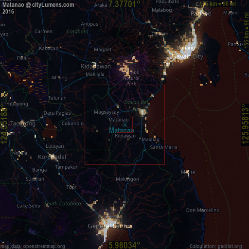
Analysis of Matanao night lights 2016
Square area 10x10 km:
 0%
0%90-99
0%80-89
0%70-79
0%60-69
0%50-59
0%40-49
0%30-39
0%20-29
0%10-19
0%0-9
100%Square area 50x50 km:
0.03%90-99
0.1%80-89
0.12%70-79
0.34%60-69
0.17%50-59
0.17%40-49
0.14%30-39
0.53%20-29
0.23%10-19
0.3%0-9
97.86%Clear (daylight) street map image can be seen on geolist.org.
Map coordinates:
7° 22' 37.2" North, 124° 33' 6.8" East
6° 40' 45" North, 125° 15' 18" East
5° 58' 49.2" North, 125° 57' 29.3" East
Some cities around Matanao sort by population:
• Digos
13.7 km =8.5 mi,  55°
55°
• Bansalan
12.7 km =7.9 mi,  338°
338°
• Magsaysay
12.5 km =7.8 mi,  320°
320°
• Guihing Proper
10.8 km =6.7 mi,  86°
86°
• Padada
10.8 km =6.7 mi,  113°
113°
• Hagonoy
7.8 km =4.8 mi, 86°
• Sulop
13.3 km =8.3 mi,  132°
132°
• Malalag
18.4 km =11.4 mi,  120°
120°
1700447 (p: 7,171)
Sources (retrieved 2019-11-25):
» Earth at Night: Flat Maps 2012, 2016