Mabinay night lights from space
Night Light of Mabinay (Central Visayas) from space (Philippines) Src. Average luminocity for 10x10km area is 1.5022% and for 50x50km: 0.3119%.
Analysis of Mabinay night lights 2016
Square area 10x10 km:
 0%
0%90-99
0%80-89
0%70-79
0%60-69
0.87%50-59
0%40-49
1.73%30-39
0%20-29
0%10-19
0%0-9
97.4%Square area 50x50 km:
0.03%90-99
0.01%80-89
0.07%70-79
0%60-69
0.03%50-59
0.07%40-49
0.16%30-39
0.04%20-29
0.08%10-19
0.04%0-9
99.48%Clear (daylight) street map image can be seen on geolist.org.
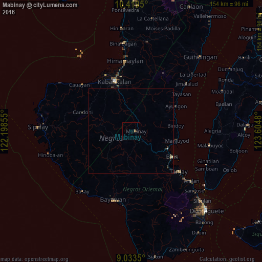
Map coordinates:
10° 25' 10.2" North, 122° 11' 54.8" East
9° 43' 38" North, 122° 54' 6" East
9° 2' 0.6" North, 123° 36' 17.3" East
Some cities around Mabinay sort by population:
• Kabankalan
30.1 km =18.7 mi,  341°
341°
• Bais
28.6 km =17.8 mi,  121°
121°
• Dancalan
33.5 km =20.8 mi,  327°
327°
• Nalundan
18.3 km =11.4 mi,  82°
82°
• Camingawan
19.2 km =11.9 mi,  347°
347°
• Orong
24.7 km =15.3 mi, 341°
• Tabu
27.9 km =17.3 mi,  311°
311°
• Tabuan
24.2 km =15 mi,  193°
193°
1704606 (p: 5,506)
Sources (retrieved 2019-11-25):
» Earth at Night: Flat Maps 2012, 2016