Paraiso night lights from space
Night Light of Paraiso (Western Visayas) from space (Philippines) Src. Average luminocity for 10x10km area is 3.1147% and for 50x50km: 0.8527%.
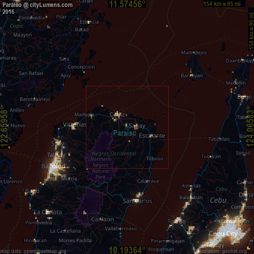
Analysis of Paraiso night lights 2016
Square area 10x10 km:
 0%
0%90-99
0%80-89
0.43%70-79
0.87%60-69
1.73%50-59
0%40-49
0%30-39
0%20-29
0%10-19
0.87%0-9
96.1%Square area 50x50 km:
0%90-99
0%80-89
0.09%70-79
0.2%60-69
0.31%50-59
0.14%40-49
0.15%30-39
0.19%20-29
0.22%10-19
0.08%0-9
98.61%Clear (daylight) street map image can be seen on geolist.org.
Map coordinates:
11° 34' 28.4" North, 122° 39' 34.5" East
10° 53' 5.6" North, 123° 21' 45.7" East
10° 11' 37.1" North, 124° 3' 57" East
Some cities around Paraiso sort by population:
• Cadiz
10.7 km =6.6 mi,  310°
310°
• Sagay
9.4 km =5.8 mi,  45°
45°
• Bolanon
12.6 km =7.8 mi,  73°
73°
• Tiglauigan
7.6 km =4.7 mi,  355°
355°
• Andres Bonifacio
12.8 km =8 mi,  286°
286°
• Bato
8.6 km =5.3 mi,  172°
172°
• Lopez Jaena
7 km =4.3 mi,  126°
126°
• Plaridel
13.9 km =8.6 mi,  84°
84°
1694791 (p: 30,494)
Sources (retrieved 2019-11-25):
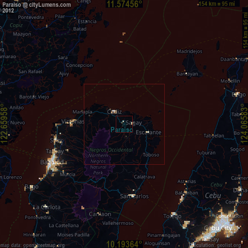
» Earth at Night: Flat Maps 2012, 2016