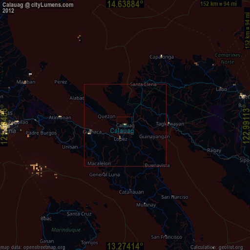
Calauag night lights from space
Night Light of Calauag (Calabarzon) from space (Philippines) Src. Average luminocity for 10x10km area is 1.5971% and for 50x50km: 0.1805%.
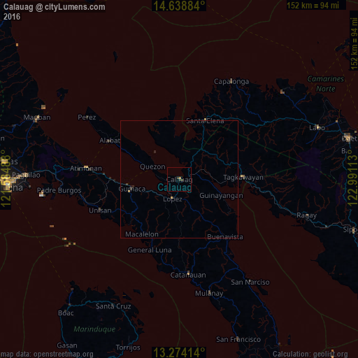
Analysis of Calauag night lights 2016
Square area 10x10 km:
 0%
0%90-99
0%80-89
0%70-79
0.83%60-69
0%50-59
0%40-49
0.83%30-39
0.83%20-29
0.83%10-19
0%0-9
96.69%Square area 50x50 km:
0%90-99
0%80-89
0.02%70-79
0.08%60-69
0%50-59
0%40-49
0.03%30-39
0.1%20-29
0.1%10-19
0.1%0-9
99.57%Clear (daylight) street map image can be seen on geolist.org.
Map coordinates:
14° 38' 19.8" North, 121° 35' 5.6" East
13° 57' 27" North, 122° 17' 16.8" East
13° 16' 26.9" North, 122° 59' 28.1" East
Some cities around Calauag sort by population:
• Lopez
8.7 km =5.4 mi,  200°
200°
• Gumaca
20.7 km =12.9 mi,  258°
258°
• Santa Elena
25.8 km =16 mi,  23°
23°
• Pitogo
28.8 km =17.9 mi,  227°
227°
• Tagkawayan Sabang
26.4 km =16.4 mi,  81°
81°
• Quezon
12.5 km =7.8 mi,  295°
295°
• Macalelon
28.4 km =17.6 mi,  214°
214°
• Rosario
10.6 km =6.6 mi,  188°
188°
1720472 (p: 20,837)
Sources (retrieved 2019-11-25):
» Earth at Night: Flat Maps 2012, 2016