Juanjuí night lights from space
Night Light of Juanjuí (San Martín) from space (Peru) Src. Average luminocity for 10x10km area is 8.2706% and for 50x50km: 0.7034%.

Analysis of Juanjuí night lights 2016
Square area 10x10 km:
 1.3%
1.3%90-99
2.16%80-89
0.87%70-79
0.87%60-69
0%50-59
2.6%40-49
0.87%30-39
0%20-29
0.65%10-19
0.22%0-9
90.48%Square area 50x50 km:
0.05%90-99
0.22%80-89
0.05%70-79
0.09%60-69
0%50-59
0.15%40-49
0.13%30-39
0.11%20-29
0.07%10-19
0.03%0-9
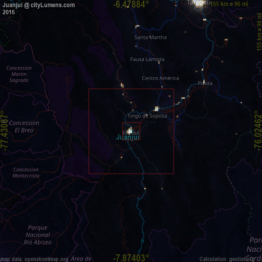
99.1%Clear (daylight) street map image can be seen on geolist.org.
Map coordinates:
6° 28' 43.8" South, 77° 25' 51.1" West
7° 10' 37.1" South, 76° 43' 39.9" West
7° 52' 26.5" South, 76° 1' 28.6" West
Some cities around Juanjuí sort by population:
• Bellavista
20.2 km =12.6 mi,  48°
48°
• Saposoa
27.5 km =17.1 mi,  349°
349°
• Tabalosos
92.1 km =57.2 mi,  3°
3°
• Lamas
87.2 km =54.2 mi,  14°
14°
• Sisa
63.1 km =39.2 mi, 3°
• Chazuta
93.7 km =58.2 mi,  44°
44°
• Huicungo
16.6 km =10.3 mi,  198°
198°
• Picota
52.2 km =32.4 mi,  56°
56°
3696057 (p: 37,715)
Sources (retrieved 2019-11-25):
» Earth at Night: Flat Maps 2012, 2016