Saña night lights from space
Night Light of Saña (Lambayeque) from space (Peru) Src. Average luminocity for 10x10km area is 7.3701% and for 50x50km: 3.4271%.
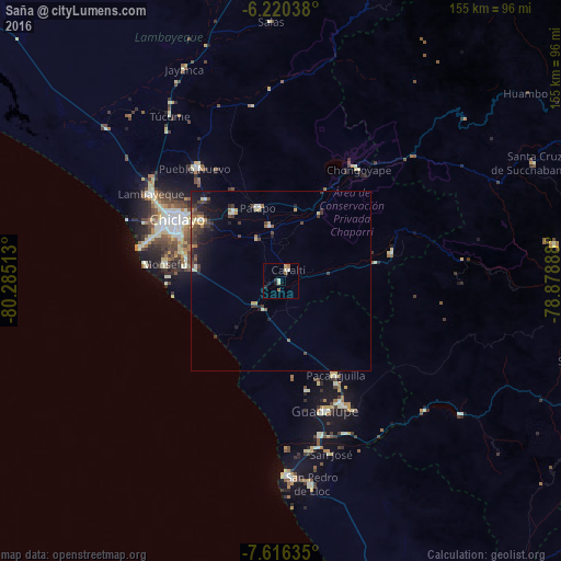
Analysis of Saña night lights 2016
Square area 10x10 km:
100  0.43%
0.43%
90-99 2.6%
80-89 0.43%
70-79 0.87%
60-69 0.87%
50-59 1.73%
40-49 0%
30-39 0.65%
20-29 1.08%
10-19 2.38%
0-9 88.96%
0.43%90-99
2.6%80-89
0.43%70-79
0.87%60-69
0.87%50-59
1.73%40-49
0%30-39
0.65%20-29
1.08%10-19
2.38%0-9
88.96%Square area 50x50 km:
100 0.11%
90-99 0.46%
80-89 0.35%
70-79 0.42%
60-69 0.35%
50-59 0.35%
40-49 0.91%
30-39 1%
20-29 0.99%
10-19 2.4%
0-9 92.68%
0.11%90-99
0.46%80-89
0.35%70-79
0.42%60-69
0.35%50-59
0.35%40-49
0.91%30-39
1%20-29
0.99%10-19
2.4%0-9
92.68%Clear (daylight) street map image can be seen on geolist.org.
Map coordinates:
6° 13' 13.4" South, 80° 17' 6.5" West
6° 55' 8" South, 79° 34' 55.2" West
7° 36' 58.9" South, 78° 52' 44" West
Some cities around Saña sort by population:
• Picsi
30.5 km =19 mi,  317°
317°
• Monsefú
32 km =19.9 mi,  278°
278°
• Eten
31.2 km =19.4 mi,  272°
272°
• Santa Rosa
32.5 km =20.2 mi,  303°
303°
• Reque
26.7 km =16.6 mi, 282°
• Pacanga
29 km =18 mi,  161°
161°
• Oyotún
32.1 km =19.9 mi,  75°
75°
• Pueblo Nuevo
30.8 km =19.1 mi,  166°
166°
3692667 (p: 39,200)
Sources (retrieved 2019-11-25):
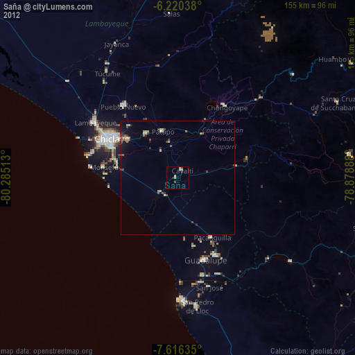
» Earth at Night: Flat Maps 2012, 2016