Pacanga night lights from space
Night Light of Pacanga (La Libertad) from space (Peru) Src. Average luminocity for 10x10km area is 7.7446% and for 50x50km: 3.9351%.
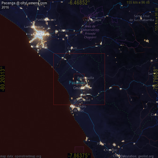
Analysis of Pacanga night lights 2016
Square area 10x10 km:
 0%
0%90-99
1.3%80-89
1.3%70-79
0%60-69
0%50-59
0%40-49
2.6%30-39
0.43%20-29
2.16%10-19
9.96%0-9
82.25%Square area 50x50 km:
0.02%90-99
0.76%80-89
0.51%70-79
0.45%60-69
0.49%50-59
0.35%40-49
0.71%30-39
0.6%20-29
0.48%10-19
4.85%0-9
90.78%Clear (daylight) street map image can be seen on geolist.org.
Map coordinates:
6° 28' 6.7" South, 80° 12' 11.3" West
7° 10' 0" South, 79° 30' 0" West
7° 51' 49.5" South, 78° 47' 48.8" West
Some cities around Pacanga sort by population:
• Chepén
10.5 km =6.5 mi,  127°
127°
• Saña
29 km =18 mi,  341°
341°
• Pacasmayo
27.2 km =16.9 mi,  196°
196°
• Guadalupe
9.4 km =5.8 mi,  168°
168°
• San Pedro de Lloc
29.2 km =18.1 mi,  180°
180°
• Reque
48.5 km =30.1 mi,  313°
313°
• Oyotún
42 km =26.1 mi,  31°
31°
• Pueblo Nuevo
2.9 km =1.8 mi,  215°
215°
3694183 (p: 8,750)
Sources (retrieved 2019-11-25):
» Earth at Night: Flat Maps 2012, 2016