Pangoa night lights from space
Night Light of Pangoa (Cusco) from space (Peru) Src. Average luminocity for 10x10km area is 0% and for 50x50km: 0.0417%.
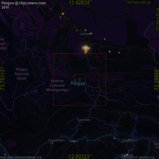
Analysis of Pangoa night lights 2016
Square area 10x10 km:
 0%
0%90-99
0%80-89
0%70-79
0%60-69
0%50-59
0%40-49
0%30-39
0%20-29
0%10-19
0%0-9
100%Square area 50x50 km:
0%90-99
0%80-89
0%70-79
0%60-69
0%50-59
0%40-49
0%30-39
0%20-29
0%10-19
0%0-9
100%Clear (daylight) street map image can be seen on geolist.org.
Map coordinates:
11° 25' 42" South, 73° 42' 11.3" West
12° 7' 0" South, 73° 0' 0" West
12° 48' 11.6" South, 72° 17' 48.8" West
Some cities around Pangoa sort by population:
• Ayacucho
176.2 km =109.5 mi,  228°
228°
• Abancay
169.2 km =105.1 mi,  175°
175°
• Santa Ana
88.9 km =55.2 mi,  159°
159°
• Huanta
163.3 km =101.5 mi,  236°
236°
• Andahuaylas
176.2 km =109.5 mi,  193°
193°
• San Miguel
145.8 km =90.6 mi, 226°
• Urubamba
163.2 km =101.4 mi,  144°
144°
• San Jerónimo
175.1 km =108.8 mi, 193°
3933104 (p: 6,638)
Sources (retrieved 2019-11-25):
» Earth at Night: Flat Maps 2012, 2016