Sayán night lights from space
Night Light of Sayán (Lima region) from space (Peru) Src. Average luminocity for 10x10km area is 2.5043% and for 50x50km: 0.6207%.
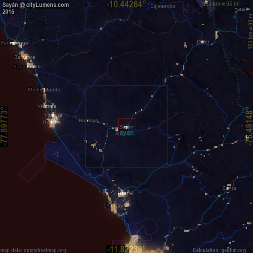
Analysis of Sayán night lights 2016
Square area 10x10 km:
 0%
0%90-99
0%80-89
0%70-79
0.65%60-69
1.95%50-59
0%40-49
0%30-39
0.87%20-29
0%10-19
0%0-9
96.54%Square area 50x50 km:
0%90-99
0%80-89
0%70-79
0.03%60-69
0.38%50-59
0.17%40-49
0.11%30-39
0.31%20-29
0.06%10-19
0.07%0-9
98.88%Clear (daylight) street map image can be seen on geolist.org.
Map coordinates:
10° 26' 33.5" South, 77° 53' 51.8" West
11° 7' 60" South, 77° 11' 40.6" West
11° 49' 20.6" South, 76° 29' 29.3" West
Some cities around Sayán sort by population:
• Huaral
40.2 km =25 mi,  182°
182°
• Huacho
44.9 km =27.9 mi,  273°
273°
• Chancay
49.3 km =30.6 mi,  189°
189°
• Hualmay
45.9 km =28.5 mi,  275°
275°
• Huaura
44.7 km =27.8 mi, 279°
• Supe
67.8 km =42.1 mi,  303°
303°
• Végueta
50.5 km =31.4 mi, 284°
• Caleta de Carquín
47.4 km =29.5 mi, 275°
3928867 (p: 6,196)
Sources (retrieved 2019-11-25):
» Earth at Night: Flat Maps 2012, 2016