Lagunas night lights from space
Night Light of Lagunas (Loreto) from space (Peru) Src. Average luminocity for 10x10km area is 0% and for 50x50km: 0%.
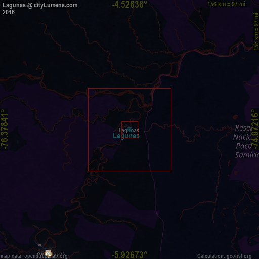
Analysis of Lagunas night lights 2016
Square area 10x10 km:
 0%
0%90-99
0%80-89
0%70-79
0%60-69
0%50-59
0%40-49
0%30-39
0%20-29
0%10-19
0%0-9
100%Square area 50x50 km:
0%90-99
0%80-89
0%70-79
0%60-69
0%50-59
0%40-49
0%30-39
0%20-29
0%10-19
0%0-9
100%Clear (daylight) street map image can be seen on geolist.org.
Map coordinates:
4° 31' 34.9" South, 76° 22' 42.3" West
5° 13' 37" South, 75° 40' 31" West
5° 55' 36.2" South, 74° 58' 19.8" West
Some cities around Lagunas sort by population:
• Moyobamba
169.2 km =105.1 mi,  237°
237°
• Yurimaguas
89.9 km =55.9 mi,  213°
213°
• Tabalosos
167.4 km =104 mi,  221°
221°
• Lamas
162.8 km =101.2 mi, 215°
• Soritor
187.8 km =116.7 mi, 237°
• Chazuta
157.9 km =98.1 mi,  198°
198°
• Jepelacio
172.3 km =107.1 mi,  234°
234°
• Barranca
119.2 km =74.1 mi,  291°
291°
3695844 (p: 9,197)
Sources (retrieved 2019-11-25):
» Earth at Night: Flat Maps 2012, 2016