Jepelacio night lights from space
Night Light of Jepelacio (San Martín) from space (Peru) Src. Average luminocity for 10x10km area is 2.6012% and for 50x50km: 1.7159%.
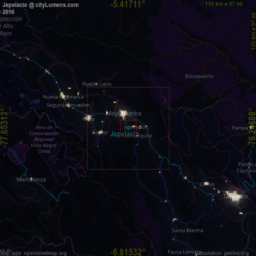
Analysis of Jepelacio night lights 2016
Square area 10x10 km:
 0%
0%90-99
0%80-89
0.83%70-79
0%60-69
0.41%50-59
0.41%40-49
0%30-39
0%20-29
0.83%10-19
0.83%0-9
96.69%Square area 50x50 km:
0.15%90-99
0.32%80-89
0.23%70-79
0.13%60-69
0.32%50-59
0.24%40-49
0.1%30-39
0.28%20-29
0.28%10-19
0.3%0-9
97.64%Clear (daylight) street map image can be seen on geolist.org.
Map coordinates:
5° 25' 1.6" South, 77° 39' 11.3" West
6° 7' 0" South, 76° 57' 0" West
6° 48' 55.2" South, 76° 14' 48.8" West
Some cities around Jepelacio sort by population:
• Moyobamba
9.5 km =5.9 mi,  345°
345°
• Yurimaguas
94.6 km =58.8 mi,  75°
75°
• Rioja
24.8 km =15.4 mi,  285°
285°
• Saposoa
93 km =57.8 mi,  167°
167°
• Tabalosos
39.3 km =24.4 mi,  131°
131°
• Lamas
56.9 km =35.4 mi, 125°
• Soritor
17.2 km =10.7 mi,  261°
261°
• Sisa
61.9 km =38.5 mi,  152°
152°
3696096 (p: 7,150)
Sources (retrieved 2019-11-25):
» Earth at Night: Flat Maps 2012, 2016