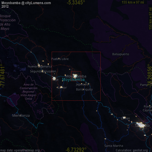
Moyobamba night lights from space
Night Light of Moyobamba (San Martín) from space (Peru) Src. Average luminocity for 10x10km area is 18.9525% and for 50x50km: 1.8528%.
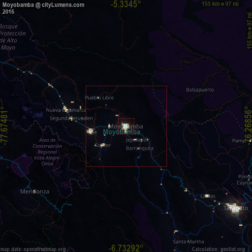
Analysis of Moyobamba night lights 2016
Square area 10x10 km:
 3.1%
3.1%90-99
4.75%80-89
0.41%70-79
1.45%60-69
3.93%50-59
2.07%40-49
0%30-39
3.1%20-29
2.69%10-19
4.75%0-9
73.76%Square area 50x50 km:
0.15%90-99
0.35%80-89
0.25%70-79
0.13%60-69
0.35%50-59
0.31%40-49
0.1%30-39
0.27%20-29
0.28%10-19
0.33%0-9
97.47%Clear (daylight) street map image can be seen on geolist.org.
Map coordinates:
5° 20' 4.2" South, 77° 40' 29.3" West
6° 2' 3" South, 76° 58' 18" West
6° 43' 58.5" South, 76° 16' 6.8" West
Some cities around Moyobamba sort by population:
• Yurimaguas
95.1 km =59.1 mi,  81°
81°
• Rioja
21.7 km =13.5 mi,  263°
263°
• Chachapoyas
101.6 km =63.1 mi, 257°
• Tabalosos
47.4 km =29.5 mi,  137°
137°
• Lamas
64.5 km =40.1 mi,  131°
131°
• Soritor
18.7 km =11.6 mi,  231°
231°
• Sisa
71.1 km =44.2 mi,  154°
154°
• Jepelacio
9.5 km =5.9 mi,  165°
165°
3694564 (p: 44,276)
Sources (retrieved 2019-11-25):
» Earth at Night: Flat Maps 2012, 2016