Barranca night lights from space
Night Light of Barranca (Loreto) from space (Peru) Src. Average luminocity for 10x10km area is 0% and for 50x50km: 0%.
Analysis of Barranca night lights 2016
Square area 10x10 km:
 0%
0%90-99
0%80-89
0%70-79
0%60-69
0%50-59
0%40-49
0%30-39
0%20-29
0%10-19
0%0-9
100%Square area 50x50 km:
0%90-99
0%80-89
0%70-79
0%60-69
0%50-59
0%40-49
0%30-39
0%20-29
0%10-19
0%0-9
100%Clear (daylight) street map image can be seen on geolist.org.
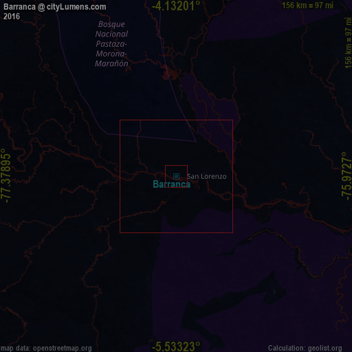
Map coordinates:
4° 7' 55.2" South, 77° 22' 44.2" West
4° 49' 58.7" South, 76° 40' 33" West
5° 31' 59.6" South, 75° 58' 21.7" West
Some cities around Barranca sort by population:
• Moyobamba
137.5 km =85.4 mi,  193°
193°
• Yurimaguas
133.7 km =83.1 mi,  152°
152°
• Rioja
146.5 km =91 mi,  201°
201°
• Tabalosos
168.7 km =104.8 mi,  180°
180°
• Lamas
176.8 km =109.9 mi,  174°
174°
• Soritor
152.8 km =94.9 mi, 198°
• Lagunas
119.2 km =74.1 mi,  111°
111°
• Jepelacio
145.9 km =90.7 mi, 192°
3699427 (p: 5,779)
Sources (retrieved 2019-11-25):
» Earth at Night: Flat Maps 2012, 2016