Chazuta night lights from space
Night Light of Chazuta (San Martín) from space (Peru) Src. Average luminocity for 10x10km area is 0.8247% and for 50x50km: 1.0476%.
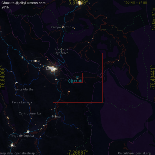
Analysis of Chazuta night lights 2016
Square area 10x10 km:
 0%
0%90-99
0%80-89
0%70-79
0%60-69
0.87%50-59
0%40-49
0%30-39
0%20-29
0.87%10-19
0%0-9
98.27%Square area 50x50 km:
0.1%90-99
0.34%80-89
0.06%70-79
0.09%60-69
0.1%50-59
0.03%40-49
0.1%30-39
0.21%20-29
0.14%10-19
1.01%0-9
97.82%Clear (daylight) street map image can be seen on geolist.org.
Map coordinates:
5° 52' 18.8" South, 76° 50' 26.4" West
6° 34' 15.1" South, 76° 8' 15.1" West
7° 16' 7.9" South, 75° 26' 3.9" West
Some cities around Chazuta sort by population:
• Yurimaguas
74.4 km =46.2 mi,  1°
1°
• Juanjuí
93.7 km =58.2 mi,  224°
224°
• Bellavista
73.6 km =45.7 mi, 222°
• Saposoa
80.8 km =50.2 mi,  240°
240°
• Tabalosos
65.1 km =40.5 mi,  292°
292°
• Lamas
47 km =29.2 mi, 291°
• Sisa
61.5 km =38.2 mi,  265°
265°
• Picota
44.4 km =27.6 mi,  208°
208°
3698414 (p: 8,029)
Sources (retrieved 2019-11-25):
» Earth at Night: Flat Maps 2012, 2016