Yurimaguas night lights from space
Night Light of Yurimaguas (Loreto) from space (Peru) Src. Average luminocity for 10x10km area is 14.6281% and for 50x50km: 0.7353%.
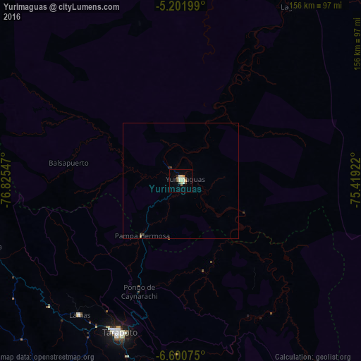
Analysis of Yurimaguas night lights 2016
Square area 10x10 km:
 0%
0%90-99
4.55%80-89
3.72%70-79
1.65%60-69
0.83%50-59
1.24%40-49
2.69%30-39
0.21%20-29
0.83%10-19
0.21%0-9
84.09%Square area 50x50 km:
0%90-99
0.19%80-89
0.19%70-79
0.07%60-69
0.05%50-59
0.05%40-49
0.14%30-39
0.09%20-29
0.07%10-19
0.01%0-9
99.15%Clear (daylight) street map image can be seen on geolist.org.
Map coordinates:
5° 12' 7.2" South, 76° 49' 31.7" West
5° 54' 6.5" South, 76° 7' 20.4" West
6° 36' 2.7" South, 75° 25' 9.2" West
Some cities around Yurimaguas sort by population:
• Moyobamba
95.1 km =59.1 mi,  261°
261°
• Tabalosos
79.6 km =49.5 mi,  231°
231°
• Lamas
73.1 km =45.4 mi,  218°
218°
• Soritor
111.7 km =69.4 mi, 256°
• Sisa
101 km =62.8 mi, 218°
• Lagunas
89.9 km =55.9 mi,  33°
33°
• Chazuta
74.4 km =46.2 mi,  181°
181°
• Jepelacio
94.6 km =58.8 mi, 255°
3690654 (p: 41,827)
Sources (retrieved 2019-11-25):
» Earth at Night: Flat Maps 2012, 2016