Huaral night lights from space
Night Light of Huaral (Lima region) from space (Peru) Src. Average luminocity for 10x10km area is 20.1667% and for 50x50km: 2.6214%.
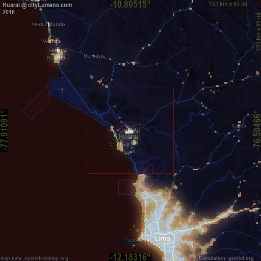
Analysis of Huaral night lights 2016
Square area 10x10 km:
 3.46%
3.46%90-99
2.6%80-89
0%70-79
1.73%60-69
2.6%50-59
1.73%40-49
2.6%30-39
7.58%20-29
2.38%10-19
26.84%0-9
48.48%Square area 50x50 km:
0.15%90-99
0.15%80-89
0.07%70-79
0.08%60-69
0.87%50-59
0.43%40-49
0.39%30-39
0.64%20-29
0.69%10-19
2.61%0-9
93.93%Clear (daylight) street map image can be seen on geolist.org.
Map coordinates:
10° 48' 18.5" South, 77° 54' 39.3" West
11° 29' 42" South, 77° 12' 28" West
12° 10' 59.4" South, 76° 30' 16.8" West
Some cities around Huaral sort by population:
• Lima
64 km =39.8 mi,  162°
162°
• Callao
63.2 km =39.3 mi,  171°
171°
• Huacho
61.2 km =38 mi,  314°
314°
• Chancay
10.7 km =6.6 mi,  217°
217°
• Hualmay
62.7 km =39 mi,  315°
315°
• Huaura
63.7 km =39.6 mi, 317°
• Sayán
40.2 km =25 mi,  2°
2°
• Caleta de Carquín
63.9 km =39.7 mi, 314°
3939285 (p: 62,174)
Sources (retrieved 2019-11-25):
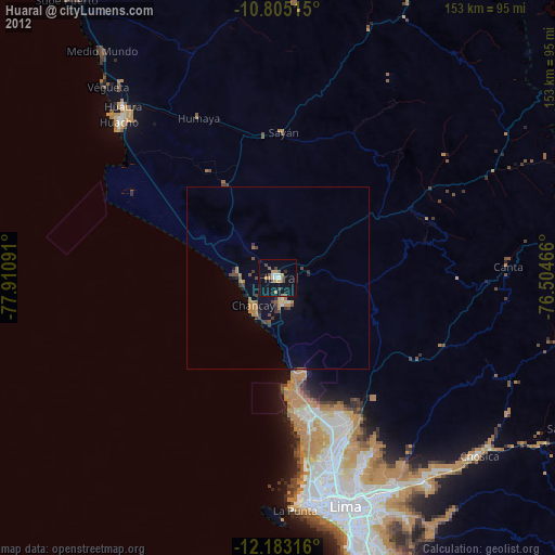
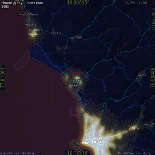
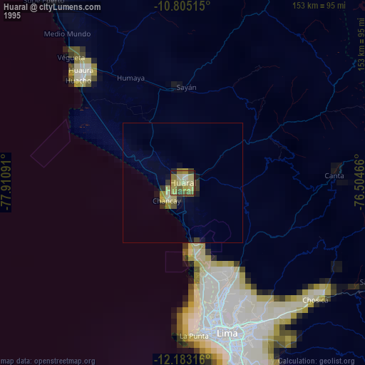
» NASA, Earths city lights 1995
» NASA city lights 2003
» Earth at Night: Flat Maps 2012, 2016