Chancay night lights from space
Night Light of Chancay (Lima region) from space (Peru) Src. Average luminocity for 10x10km area is 19.9654% and for 50x50km: 4.6011%.
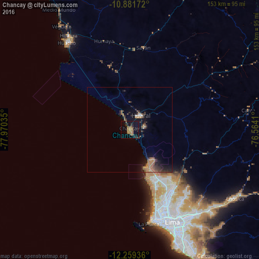
Analysis of Chancay night lights 2016
Square area 10x10 km:
 0%
0%90-99
0%80-89
0%70-79
0.22%60-69
13.85%50-59
3.9%40-49
1.52%30-39
3.46%20-29
4.76%10-19
24.46%0-9
47.84%Square area 50x50 km:
0.15%90-99
0.15%80-89
0.1%70-79
0.27%60-69
2.18%50-59
0.7%40-49
0.76%30-39
1.1%20-29
1.41%10-19
4.2%0-9
88.98%Clear (daylight) street map image can be seen on geolist.org.
Map coordinates:
10° 52' 54.2" South, 77° 58' 13.3" West
11° 34' 17" South, 77° 16' 2" West
12° 15' 33.7" South, 76° 33' 50.8" West
Some cities around Chancay sort by population:
• Lima
58.6 km =36.4 mi,  153°
153°
• Callao
56.3 km =35 mi,  163°
163°
• Huaral
10.7 km =6.6 mi,  37°
37°
• Huacho
63.5 km =39.5 mi,  324°
324°
• Hualmay
64.9 km =40.3 mi, 324°
• Santa María
63.1 km =39.2 mi,  139°
139°
• San Luis
63.6 km =39.5 mi, 152°
• Sayán
49.3 km =30.6 mi,  9°
9°
3944399 (p: 26,958)
Sources (retrieved 2019-11-25):
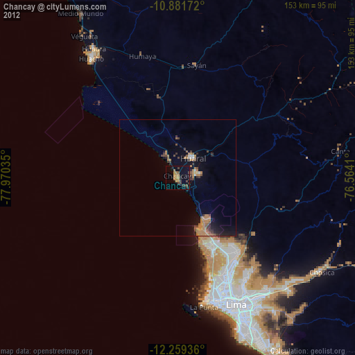
» Earth at Night: Flat Maps 2012, 2016